Status Yellow rainfall warning issued for 11 counties

Met Éireann has issued a Status Yellow rainfall warning for 11 counties, valid from this morning, Tuesday, June 4, through to tomorrow.
Issued by the national meteorological office this morning at 6:00am, the alert will be valid from 7:00am this morning through to 6:00am tomorrow morning.
The warning affects counties: Dublin; Kildare; Laois; Longford; Louth; Wicklow; Offaly; Westmeath; Meath; Cavan; and Monaghan.
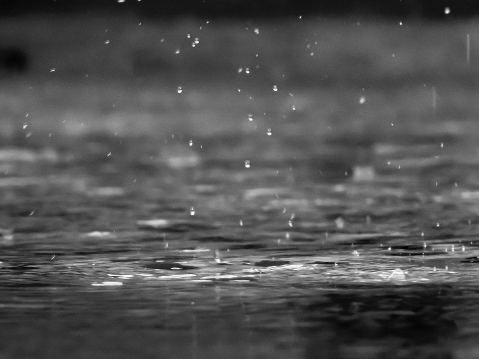
According to Met Éireann, rain over Munster and south Leinster will become fairly widespread this morning, with the rain heaviest over Leinster and east Ulster, giving a risk of some spot flooding.
However, more showery weather will develop over west Connacht and much of Munster this afternoon, a few of which may turn heavy and thundery, according to the national meteorological office.
Top temperatures will reach 12° to 16° in light to moderate north-west breezes.
There will be further rain over Ulster and parts of Leinster and east Connacht for a time tonight, heavy in places.
However, it will be more showery elsewhere, with some dry spells. Lowest temperatures of 6° to 9° are predicted in moderate north-west breezes.
The coming week will be characterised by very showery interludes; therefore drying will be good at times but often poor during showery episodes, according to Met Éireann.
Regarding field conditions, soil temperatures are between 1° and 3° above normal.
Apart from the north-west of the country where soils are near saturation, moisture deficits range from 20 to 40mm across the midlands and east.
Tomorrow
Early rain over northern areas is expected to clear soon, tomorrow morning. Some bright or sunny spells are expected to develop, but there will be some showers at times too, a few of these heavy.
Top temperatures will reach 12° to 15° in light to moderate northwesterly breezes.
It will be cool, with lowest temperatures dropping to 4° to 7° in light variable breezes. A few patches of mist are expected around dawn also.
Outlook
Thursday will be a bright, fresh day, with sunny spells and showers. The showers are likely to be heaviest and most frequent over south Munster, south Leinster and also in the north-west of the country, with a risk of some hail and thundery downpours.
Top temperatures will reach 12° to 15° while moderate north-west breezes will be fresh on parts of the Atlantic seaboard.
Friday will see another showery day in store, but there will be some bright or short sunny spells also.
Some of the showers will turn heavy, with a few thundery downpours likely at times too. Top temperatures will hit 12° to 16° in moderate west to north-west breezes, Met Éireann says.