Slurry spreading set to be further delayed by widespread showers

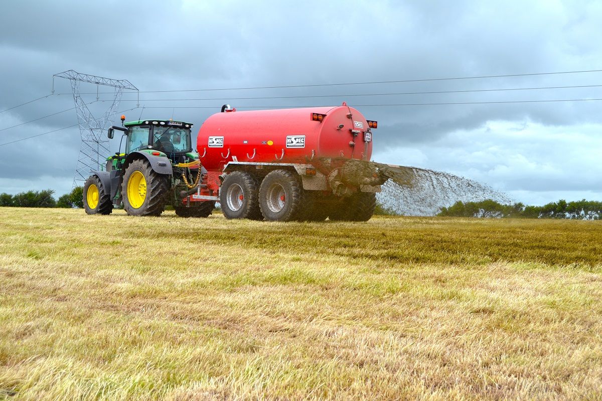
Farmers across Ireland who are still trying to spread slurry before the deadline closes on October 15 may be delayed even further by widespread showers forecast this week.
A status orange weather warning for fog also remains in place this morning. It was issued by Met Eireann at 8:00pm on Sunday, September 24, and it is valid until 12:00pm today.
This overnight fog across the midlands, west and north is set to gradually thin this morning. Conditions will be brighter elsewhere, with fine spells of sunshine expected in some areas.
It is forecast to hold dry through the day, with autumn sunshine developing more readily. After a cool start, it is likely to turn milder in the afternoon. Highest temperatures will range from 16º to 19º.
Drying conditions will be generally good for today and the early part of tomorrow; conditions will deteriorate after that, according to Met Eireann.
Meanwhile, opportunities for spraying over the coming week will also be limited due to rain and/or windy conditions, it added.
Tomorrow
Another relatively mild day is forecast tomorrow, Tuesday, in mostly moderate southerly breezes. It is set to be dry across much of the country, with a mix of cloud and bright or sunny spells.
Patchy outbreaks of rain or drizzle are likely to gradually move into parts of the west and southwest, along with freshening southerly winds in these parts. Temperatures will remain in the high-teens, with conditions being mildest over north Leinster.
There is a danger of rain becoming persistent and heavy in the west on Tuesday night. This is likely to spread eastwards by morning, in freshening south to southeasterly winds.
Wednesday
Wednesday will be wet and windy. Rain is set to turn persistent and heavy – possibly leading to localised flooding. But a clearance to scattered showers will spread into the west later, Met Eireann added.
Top temperatures of 13º to 16º are forecast in fresh south to southeasterly winds, which will veer westerly and ease with the clearance later in the west.
Rain is set to clear from the east and north on Wednesday night. Lowest temperatures will fall to around 6º to 10º, with patches of mist and fog developing as winds fall light.
Outlook
Thursday is expected to be mostly dry at first, but cloud will increase from the west with a band of rain sweeping northeastwards later in the day and during the night, in freshening south to southeasterly winds.
Early indications suggest that Friday will be a cooler day with widespread scattered showers. There is a danger that these showers may turn heavy and merge into longer spells of rain.