Showers interspersed with sunshine this week

A showery few days are in store – though there will be some sunny spells too – with cold nights, according to Met Eireann.
It will be cold and clear this morning with a widespread ground frost and some icy patches around the country, according to the national meteorological office.
Today will be generally dry and sunny, but some local showers will develop later – while highest temperatures will range from 9° to 13° in light breezes.
It will become milder in the west and south-west by morning as outbreaks of rain and freshening southerly winds move in from the Atlantic.
Drying will be moderate at times in sunshine today, but winds will be mostly light.
There will also be fog patches about in the early mornings. An active front will cross the country tomorrow, bringing rain to all areas – being heaviest the west.
Met Eireann forecasts a drier day on Wednesday – though with showers – and a fresh to strong westerly breeze. A front will bring some rain and drizzle on Thursday, mostly to the west and north.
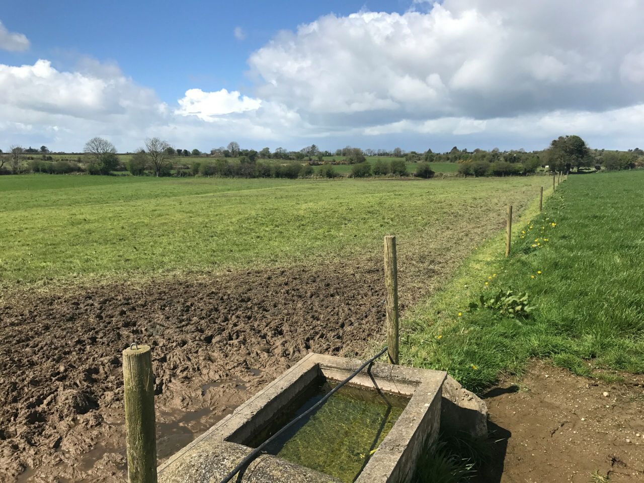
Well-drained soils are mostly trafficable. Moderately and poorly-drained soils are saturated or near saturation, the meteorological office reports. A slight improvement is likely over the coming week, however.
Tomorrow
Tomorrow (Tuesday) will be cold and frosty at first for many areas, but milder weather is likely in the west. Outbreaks of rain will spread quickly eastwards during the morning along with fresh southerly winds.
During the afternoon, the rain will gradually clear away eastwards – while the winds will veer westerly and sunny spells will develop. Typical temperatures tomorrow will stay between 10° and 13°, Met Eireann expects.
Lowest air temperatures will drop once more, ranging from 1° to 4°, with ground frost in areas sheltered from the moderate to fresh westerly winds.
Outlook
Wednesday looks set to be a cool, blustery day with a mixture of sunny spells and passing heavy showers of rain and hail.
Highest temperatures will reach 9° to 12° in fresh and gusty westerly winds, Met Eireann predicts.
The showers will die away in the evening and the winds will ease, followed by a chilly night with lows of 2° to 5° and a slight ground frost developing.