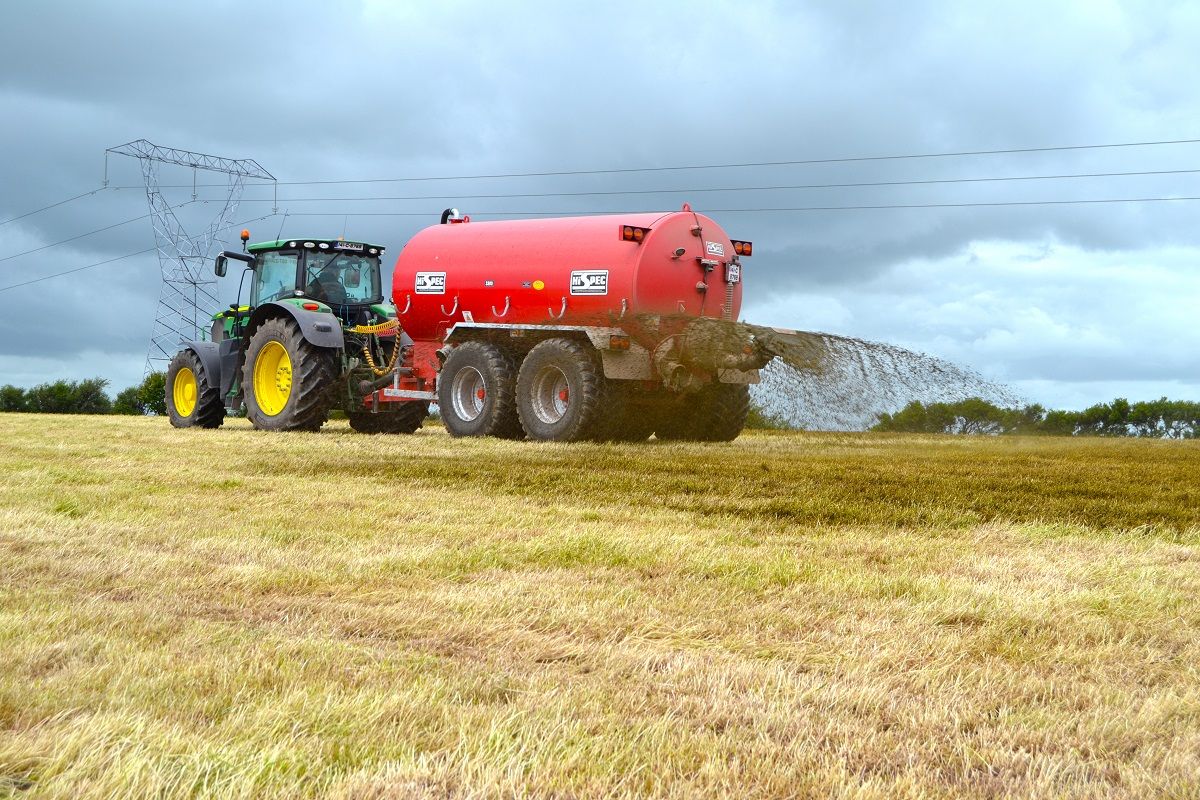
Scattered showers forecast as slurry spreading ban is lifted


Scattered showers are forecast this weekend, just as the slurry spreading ban is lifted in parts of the country, according to Met Eireann.
A number of weather warnings for snow and ice also remain in place until later this evening.
A status orange weather warning for snow and ice has been issued for counties Cavan, Monaghan, Donegal, Leitrim, Mayo and Sligo.
Meanwhile, a status yellow weather warning for snow and ice has been issued for Munster, Leinster as well as counties Galway and Roscommon.
The showers are expected to mostly affect western and northern counties while the snow may become mostly confined to high ground during the middle of the day.
Tonight is forecast to be cold and frosty with some ice patches as temperatures drop to as low as -2 degrees.
It is set to be coldest in the eastern half of the country, where the frost is expected to be sharp or severe.
Over the coming days both drying and spraying conditions are forecast to be quite poor.
Field conditions are set to remain trafficable on well drained soils, but little improvement is expected in poorly drained soils that are saturated or waterlogged.
Tomorrow
Any frost and icy patches are expected to clear early on Saturday, while there is set be a mixture of bright spells and scattered patches of rain or drizzle for the remainder of the day.
These showers are forecast to be most likely over Ulster and north Connacht as temperatures range from 6 to 9 degrees.
Tomorrow night is likely to be mild and misty, with some rain expected in places.
Sunday
Sunday will be misty and mainly cloudy day, with rain in many places, according to Met Eireann.
There will be a few bright spells possible over Munster and west Connacht, while temperatures are expected to reach between 9 to 11 degrees.
Misty and mostly cloudy overnight, with patches of drizzle and light rain, here and there. Lowest temperatures 4 to 7 degrees.
Outlook
Early indications for Monday suggest that temperatures will vary between 6 to 10 degrees.
A mixture of rain or drizzle and some dry spells is expected throughout the day, while it is forecast to turn very cold and frosty overnights with temperatures set to fall below freezing.
Tuesday and Wednesday are forecast be cool dry days, with occasional sunny spells, but there is a risk of a return to frosty conditions at night.