Blast off for satellite to help monitor crops
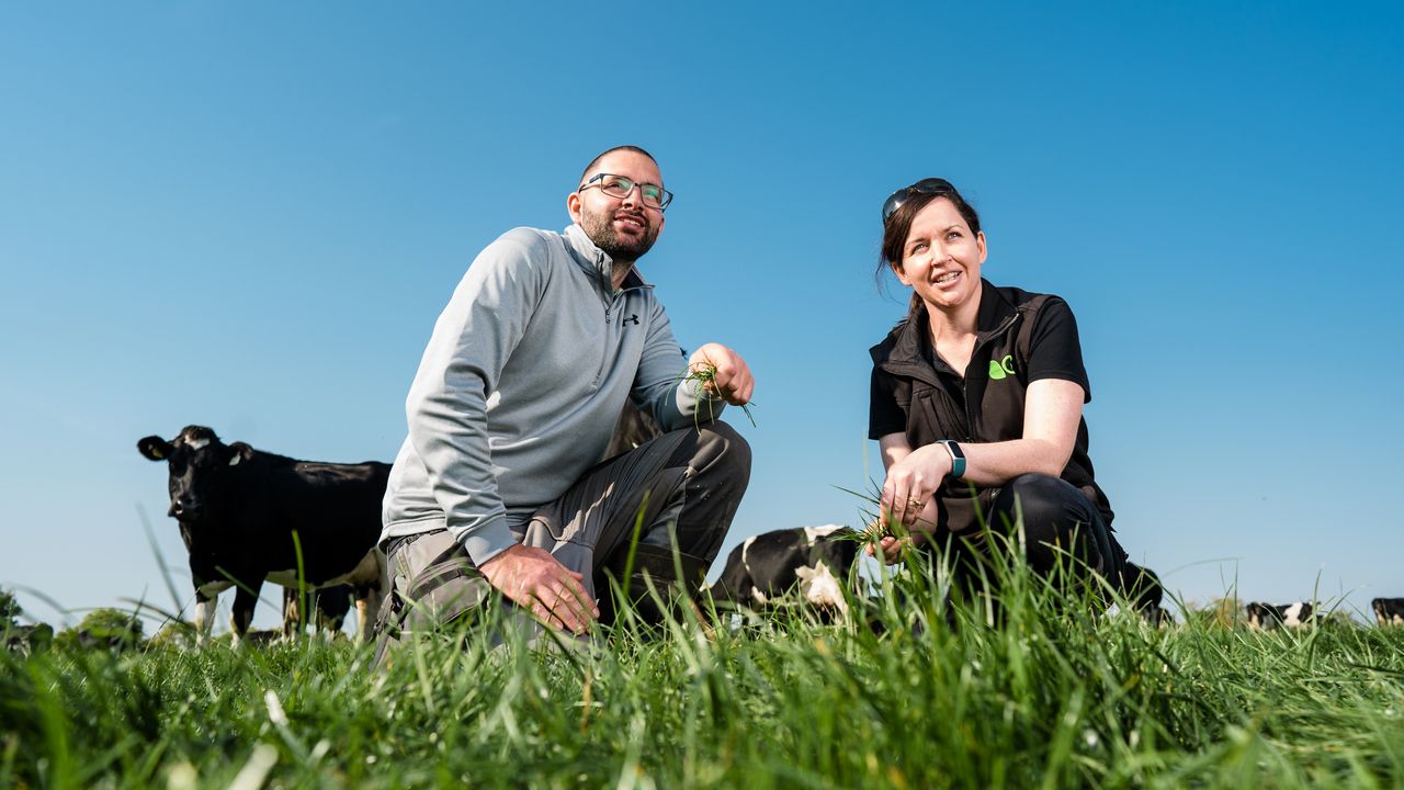
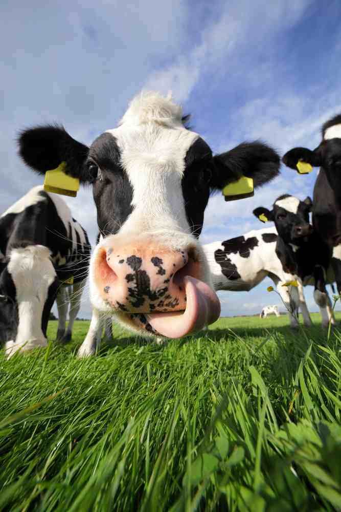
Farmers can expect extraterrestrial help with crop growth analysis as a new EU satellite to monitor the earth is launched tonight.
Copernicus – the programme for earth monitoring by the EU – will launch its first satellite tonight. Monitoring climate change and land use will be two of the main uses of the satellites and the data will be made available free to the public.
The European Earth observation programme Copernicus, previously known as GMES (Global Monitoring for Environment and Security), is behind the satellite.
Copernicus consists of a complex set of systems which collect data from multiple sources: earth observation satellites and in situ sensors such as ground stations, airborne and sea-borne sensors. It processes these data and provides users with reliable and up-to-date information through a set of services related to environmental and security issues…
The services address six thematic areas: land, marine, atmosphere, climate change, emergency management and security.
The Copernicus land monitoring service provides geographical information on land cover and on variables related, for instance, to the vegetation state or the water cycle. It supports applications in a variety of domains such as spatial planning, forest management, water management, agriculture and food security, etc.
The Pan-European component is coordinated by the European Environment Agency and will produce five high resolution data sets describing the main land cover types: artificial surfaces (e.g. roads and paved areas), forest areas, agricultural areas (grasslands), wetlands, and small water bodies.
Live streaming will be available from 23.00 (Brussels time).
http://www.esa.int/spaceinvideos/ESA_Live