Rain expected over coming days - Met Éireann


A warm and humid weekend is on the cards with slow-moving thundery showers, leading to spot flooding, according to Met Éireann.
Today will be generally cloudy or dull with showery spells of rain, expected to be heaviest in the north and east, the national meteorological office says.
While long dry spells will develop, heavy thundery rain will begin to move into the south-east later this evening.
Highest temperatures of 14° to 20° are expected, mildest in the west and north-west where some brighter spells will develop.
Lowest temperatures will stay at 9° to 12°, in mostly moderate north-east breezes, fresher along Irish Sea coasts.
Rain
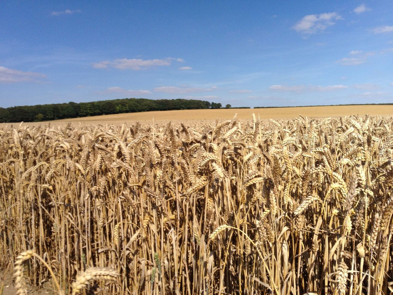
Over the past seven days, rainfall amounts were below normal in all parts of Ireland, ranging from just 20 to 30% of normal in parts of east Munster and south Leinster (2mm to 5mm) to 90% or higher in many parts of Ulster (14mm at Malin Head).
The next week will have a continuation of unsettled weather, with occasional showers or longer spells of rain and with some heavy and possibly thundery falls at times locally, Met Éireann says.
Drying conditions will be poor at times in precipitation but there will be some drier interludes in between spells of rain or showers.
Opportunities for spraying will be very limited over the next seven days, due to unsettled conditions.
Regarding field conditions, soil moisture deficits remain relatively high in most parts of the country, ranging between 50mm and 75mm, with significant restrictions in growth, especially in Leinster, north Munster and south Ulster, the forecaster notes.
Soil moisture deficits are a little lower in south Munster and in north and northwest coastal areas, with values of 40mm to 55mm.
However, with any hard pan having formed in the extensive dry period, in some soils, run-off in more intense precipitation may limit the effectiveness to bring the soil moisture deficit down sufficiently for any substantial recovery, the meteorological office warns.
Tomorrow
Tomorrow will feature some sunny spells, but overall will be cloudy with scattered showers and light north-east breezes, according to Met Éireann.
The showers are likely to be heaviest across the north-west, south Leinster and south Munster. It will be rather warm and humid, with highest temperatures of 17° to 21° or 22°.
Moving to tomorrow night, whilst many areas will be dry, some heavy showers will persist across the southern counties.
It will be mild and humid with lowest temperatures of 10° to 13°, and misty in parts too, with just light northeasterly breezes.
Sunday
Sunday will be warm and humid with sunshine and slow-moving heavy showers. Prolonged thundery downpours will occur, especially across the western half of the country with spot flooding and local hail.
Highest temperatures of 18° to 23° are expected, in mostly light westerly breezes. It will be humid overnight with further showers or longer spells of thundery rain, mainly across the north and west.
Sunday night is forecast to be calm with some mist setting in, while lowest temperatures will stay at 11° to 14°.