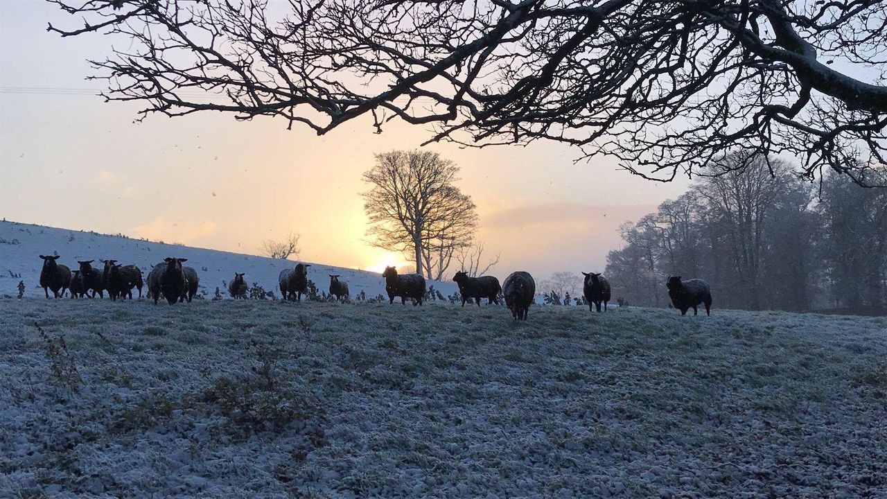
More snow and ice on the way tonight

Yet another Status Yellow weather warning has been issued for the country by Met Eireann this morning, as more snow and ice is on the way.
Issued by the meteorological office this morning (Thursday, February 8) at 8:00am, the weather warning will come into effect tonight at 9:00pm and will last until 9:00am tomorrow morning.
In the meantime, outbreaks of rain and drizzle will continue to persist across parts of south Leinster and Munster today; but, the rest of the country will remain generally dry and bright during the day. Highs of 6° to 10° are expected in a moderate southwesterly breeze.
It will become much colder this evening and early tonight, as winds freshen and turn northwesterly in direction and temperatures will drop to between -2° and 1°. As well as the widespread snow showers, frost and icy stretches are likely, Met Eireann has said.
Tomorrow
Tomorrow morning will start off frosty, but otherwise the day should be bright and cold with wintry showers becoming more isolated and many places having long dry periods. Temperatures will reach up to 4° to 6° in blustery northwesterly winds.
A slight frost is possible early tomorrow night; but, temperatures will rise during the night as southerly winds freshen and outbreaks of rain sweep in from the Atlantic, according to the meteorological office.
There will be some heavy bursts of rain later in the night, which could initially turn to sleet for a time across parts of the north and east. Lowest temperatures of zero to 4° are expected.
Outlook
A damp start is on the cards for Saturday, with any overnight rain soon clearing. It will dry up for a time with some brightness and moderating winds, but a spell of wet and windy weather will move in from the Atlantic in the afternoon and evening as westerly winds strengthen, Met Eireann added.
Relatively small amounts of rain are predicted for southern counties compared to other areas. Highest temperatures will range from 7° to 12°.
It is expected to be very cold overnight with clear spells and scattered sleet and snow showers, with frost and ice also on the cards.