More settled conditions from midweek onward - Met Éireann

A wet start to the week will give way to drier, more settled conditions over the coming days, according to Met Éireann.
High pressure will be dominant through Tuesday night and Wednesday, bringing settled conditions for midweek and beyond.
Today (Monday, April 19) will be cloudy with outbreaks of rain mainly affecting the western half of the country and becoming persistent in western coastal counties, the national meteorological office says.
Further east, rain and drizzle will be light and patchy with some eastern areas holding dry.
Highest temperatures of 9° to 13° are expected, with it to be mildest in the east, in a light to moderate southerly breeze.
Tonight will be generally cloudy with continued outbreaks of rain and drizzle, most persistent over western counties, Met Éireann says.
However, rain will gradually become lighter and patchier overnight. Some hill and coastal mist and fog will form.
Lowest temperatures of 4° to 8° are forecast in a light southerly or variable breeze.
Tomorrow
Tomorrow will start generally cloudy with lingering patches of rain and drizzle. Rain and drizzle will ease through the day as cloud gradually breaks up from the north and some sunny spells develop later on.
Highest temperatures of 9° to 12° are given in a light variable breeze, becoming light to moderate northerly through the day.
Any lingering rain and drizzle will die out early on to leave a largely dry night, the forecaster says.
Cloud will gradually break up overnight too with clear spells developing.
Lowest temperatures will drop to 1° to 3° over the northern half of the country but it will be less cold further south with lowest temperatures of 3° to 6° degrees, in a light to moderate northeasterly breeze.
Wednesday
Wednesday will be a largely dry and bright day with widespread sunny spells.
Highest temperatures of 9° to 12° are expected generally but it will be milder in Munster with highest temperatures of 13° to 15° degrees, in a light to moderate easterly breeze.
It will continue dry and largely clear on Wednesday night. Lowest temperatures will drop to 2° to 5°, but it will be colder over Ulster and Connacht where there will be a touch of grass frost with lowest temperatures of 0° to 3°.
Thursday
Thursday will be another generally dry and bright day with sunny spells, Met Éireann says. There is the chance of an isolated shower in the afternoon, however.
Highest temperatures of 11° to 15° are expected, coolest in the east and south in a light to moderate southeasterly breeze.
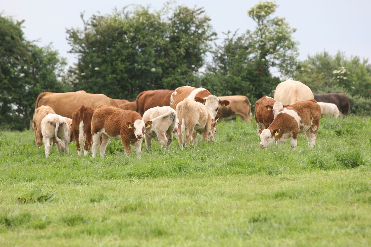
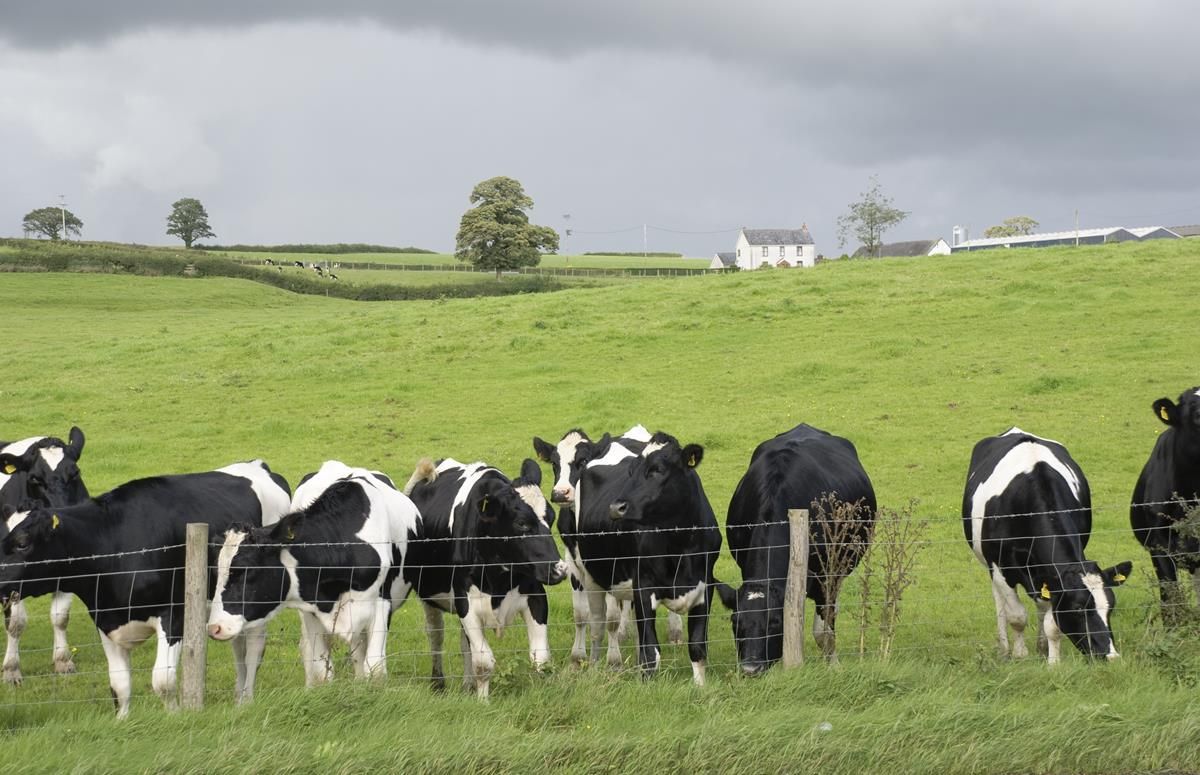
Farming and field conditions
Drying conditions will be mostly poor over the next couple of days, but will improve to good from midweek.
Over the next couple of days, there will be few, if any, opportunities for spraying, with occasional rain and drizzle. From midweek, mainly dry and settled conditions will bring good opportunities, though it become breezy at times towards the weekend, especially in southern and eastern coastal areas.
Field conditions are good over the bulk of the country, with good trafficability. However, poorly drained soils in northwest coastal areas are saturated and will deteriorate further over the next couple of days, improving a little from midweek.
Moderately drained soils in these areas will also become saturated by today, but will improve again from midweek. However, elsewhere soils will remain drier, even very dry in the southeast, with good trafficability, Met Éireann concludes.