Met Éireann warns of snow and ice tomorrow

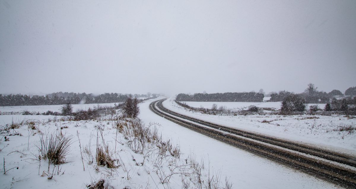
As the cold snap continues this week, Met Éireann has issued a Status Yellow Weather Warning for snow and ice across the entire country.
The national forecaster has said that conditions on the country's roads will be dangerous as a result.
Tomorrow evening (Thursday January 6) will bring scattered showers of hail, sleet and snow with icy stretches leading to hazardous travelling conditions in some areas.
Met Éireann said that the showers will be most widespread in the west and north, where some accumulations are likely, some isolated thunderstorms may also occur.
The warning is valid from 4:00p.m on Thursday (January 6) to 11:00a.m on Friday (January 7).
The UK Met Office has also issued a Yellow Snow and Ice Warning for Northern Ireland.
It said that "frequent sleet, hail and snow showers may lead to some disruption to travel during Thursday night and Friday morning".
The warning, which is valid from 8:00p.m on Thursday to 11:00a.m on Friday, applies to Antrim, Armagh, Fermanagh, Tyrone, Derry.
Met Éireann has also said that there is a Yellow Gale Warning for all coastal areas tomorrow; the warning is valid until 6:00p.m on Friday.
During this evening and tonight frost and ice will set in quickly after dark with temperatures falling back to between 0 to -3°.
The frost and ice will clear overnight with rain arriving on the west coast after midnight.
The rain will then push eastwards and for a short time will turn to sleet or snow in parts of Ulster.
The forecaster said that tomorrow will start off wet and windy.
Following the clearance of rain to the east there will be sunny spells and frequent blustery showers which will get more wintry during the day.
Falls of sleet or snow can be expected mainly in the western half of the country by tomorrow evening.
Temperatures on Thursday will reach highs of 4 to 8°.
Met Éireann has said that conditions this week are set to remain unsettled and cold at times.