Met Éireann warns of 'intense rain' as Storm Austen hits tonight

Met Éireann has warned that Storm Austen will bring "intense" rain and strong winds when it arrives later today (Thursday, October 22).
The first named storm of the 2026/2027 season is due to track past Ireland’s south coast from this evening to Friday morning.
A Status Orange rainfall warning has been issued for Cork, Kerry and Waterford, which will be the first counties to be impacted by the heavy rain.
The warning will come into force at 10:00p.m tonight and remain in place until 5:00a.m on Friday.
Another Status Orange rainfall warning for counties Dublin, Wexford and Wicklow will be valid from 2:00a.m until 8:00a.m on Friday.
A Status Yellow rain and wind warning has been issued for Munster and Leinster from 7:00p.m on Thursday through to 10:00a.m on Friday.
The heavy rain will bring a risk of flooding, disruption and delays to public transport, along with very difficult travelling conditions.
While the strong winds may result in fallen trees and branches, while loose objects and debris will be displaced.
Storm Austen
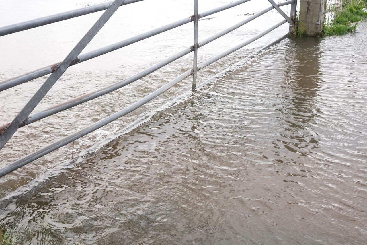
The heavy rain is expected to bring a risk of flooding across parts of the south, south-east and east where rivers may exceeding their banks.
However, there is some uncertainty around the exact path of the storm, which will affect where the heaviest rain and strongest winds will occur.
According to Met Éireann, "small, mountainous, upland and urban catchments are most at risk, as they can respond rapidly to periods of intense rainfall".
The National Severe Weather and Flood Coordination Group will meet again today and is monitoring the emerging weekend forecast.
Speaking ahead of the arrival of Storm Austen, the head of the National Directorate for Fire and Emergency Management (NDFEM), Keith Leonard said: "Localised flooding is possible, so road users should not attempt to drive through flooded roads".
"Trees remain in full leaf at this time of year, making them more vulnerable to strong winds - motorists should be alert for fallen trees, debris and difficult driving conditions, particularly during Thursday night and Friday's morning commute.
"If you need to drive during the next few days, allow extra time for essential travel," he said.
Leonard urged people to secure any loose outdoor items such as bins, garden furniture, trampolines and temporary structures before Thursday evening.
"While river levels currently have some capacity and tides are relatively low, conditions can change quickly during severe weather so it's best to stay informed through Met Éireann and local authority channels and take all necessary precautions," he said.
Met Éireann has warned that the unsettled weather will not end with Storm Austen.
Another area of low pressure is forecast to track to the north of Ireland over the October Bank Holiday weekend, with the potential for a further spell of wet and windy weather.