Met Éireann warns of heavy rain and thunderstorms

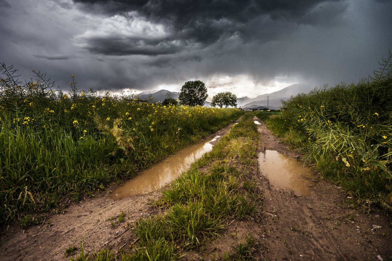
Met Éireann has issued a Status Yellow rain and thunderstorm warning for the country.
The national forecaster said that widespread showers and thunderstorms can be expected, with longer spells of rain at times.
There is the potential for localised flooding, especially in the northwest.
The warning is in place from 1:00p.m today (Wednesday, July 28) until 7:00a.m on Thursday morning.
In Northern Ireland, there is a Status Yellow thunderstorm warning in place for counties Antrim, Armagh, Down, Tyrone and Derry.
The UK Met Office said that thunderstorms may cause some disruption today between 12:45p.m and 6:00p.m.
Weather following the Status Yellow
Tomorrow, Met Éireann said there will be scattered outbreaks of rain extending from the north, with some heavy and possibly thundery bursts across Ulster and north Leinster.
It will be drier and milder further south with well-scattered showers and sunny spells, but there will still be a chance of isolated thunderstorms affecting southern coasts towards the evening.
The night will become largely dry and clear as shower activity diminishes. However, later on, some heavy showers will feed into the west and northwest.
On Friday, it will be cloudy in the morning with showery spells of rain becoming fairly widespread, driest in the southeast.
It will be cooler on average for the time of year with top temperatures of 15° to 18°.
Showers will become confined to the southwest early in the night with some mist and fog setting in, with just light variable breezes.