Met Éireann: Cooler with sunshine and showers this weekend

Met Éireann has said that conditions will become cooler and breezy over the weekend, with sunshine and showers.
The national meteorological service said that this morning (Friday, April 12) will be cloudy and misty with rain and drizzle, mainly in the west and northwest.
Bright spells will develop in the afternoon in the east and midlands before the rain and drizzle slowly pushes eastwards by evening.
Highest temperatures of 13 to 16°C, feeling warmest in the east in a moderate to fresh south to southwest wind.
The rain and drizzle will clear overnight, some mist and fog patches forming in places. Showers will arrived in Atlantic coastal counties in the west by dawn.
Overnight temperatures of 6 to 10°, while the winds will increase moderate to fresh southwest by dawn.
Weekend
Saturday (April 13) will be bright and breezy with sunshine and showers, some of the showers could be heavy in the north and west, becoming isolated later with long sunny spells developing.
Top daytime temperatures ranging from 8 to 15°, coolest in the northwest, winds will veer westerly in the afternoon and will be strong and gusty at times.
Showers will become confined to the west and northwest on Saturday night. It will feel cooler than recently with overnight lows of 2 to 6° in light to moderate southwest winds.
After a dry start, rain will move eastwards across the country on Sunday (April 14), followed by showers, some of which will be heavy and fall as hail in the west and north.
Highest temperatures of 9 to 12° in moderate to fresh and gusty southwest winds.
The showers will persist on Sunday night and will merge into longer spells of rain, particularly in the west and northwest. Some heavy fall are forecast with hail and thunder possible.
The southwest to west winds will be moderate to fresh, near gale force along coasts. Lowest temperatures of 3 to 6°.
There will be a mixture of sunshine and blustery showers on Monday (April 15), some hail showers in the north and northwest. There will be gales on western and northern coasts. Highest afternoon temperatures of 8 to 11°.
On Tuesday (April 16), there will be further sunny spells and showers, most frequent in the west and north. Highest temperatures 9 to 13° in a moderate to fresh northwest wind.
Met Éireann said that the current outlook is that showers will become increasingly isolated towards the end of next week as high pressure builds.
Met Éireann
Met Éireann has said that the coming week will be wetter than average in the west and northwest, where rainfall totals are expected to be approximately 1.5 to 2 times the average.
Elsewhere rainfall will generally be below average, however some eastern parts may see close to average rainfall. It will be driest in the southeast, south and southwest.
Mean air temperatures are expected to be around average or up to 1° above. Soil temperatures will remain above normal.
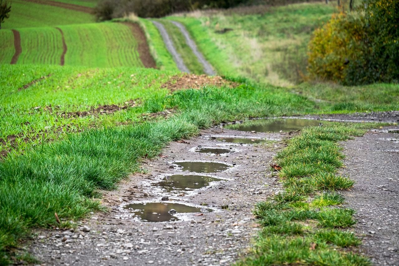
Drying conditions will be generally moderate or poor over the coming days due to frequent showers and spells of rain. However, this may improve next week as rain and showers are expected to be less frequent.
Opportunities for spraying will be limited this week due to showers and spells of rain and often windy or breezy conditions.
Some improvement in soil conditions is expected early next week as showers become less frequent away from the northwest and west.
Met Éireann said that light soils should become trafficable in the south and southeast where soils are well or moderately drained.