Map showing Ukrainian agri-sector losses wins award

A Ukrainian mapping solution for recording losses in the agricultural sector as a result of the war, has been named as one of the five finalists in an international innovation competition.
The interactive map pinpoints and stores evidence of the crimes committed by the Russia against Ukraine’s agricultural sector.
The map was developed by experts from the United States Agency for International Development (USAID) Agriculture Growing Rural Opportunities (AGRO) program and the Ukrainian Agri Council (UAC) and was presented at the annual Society for International Development (SID-US) conference.
According to Anna Fedun, land legislation advisor with the USAID AGRO program, the interactive map already contains data on 534 objects and 1,100 pieces of evidence of crimes committed by Russian troops against agricultural enterprises.
Fedun said the solution it has developed for Ukrainian farmers has "attracted the interest" of the international community, as there have been" 40 military conflicts in the world in the 21st century alone".
She added: "For us, participation in the SID-US conference was another opportunity to draw the international community's attention to the war in Ukraine and the devastating losses of Ukrainian farmers who, despite everything, continue to fulfill their mission of ensuring the world's food security."
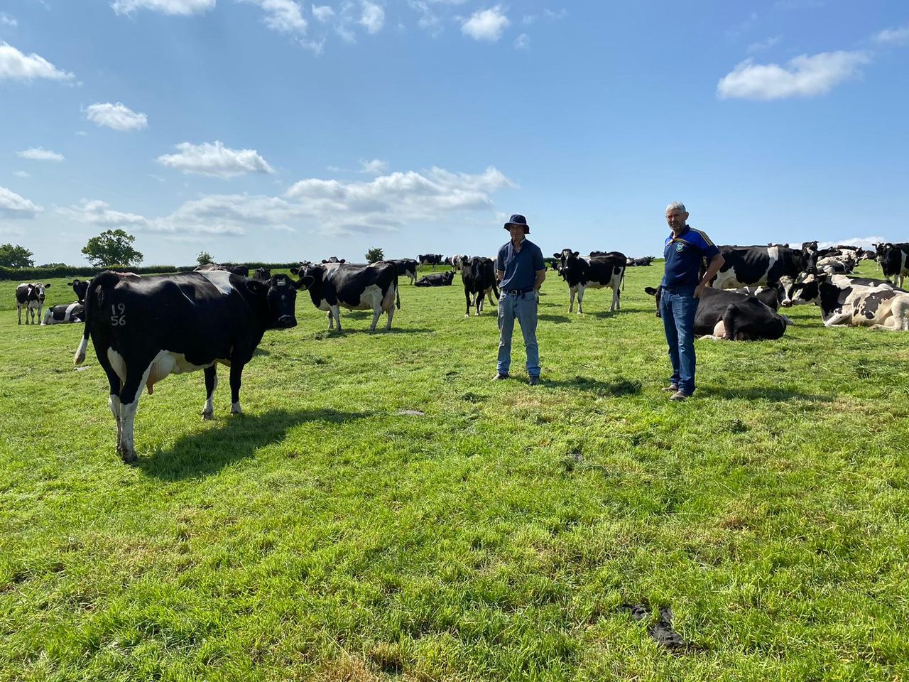
Andriy Dykun, head of the Ukrainian Agri Council and SaveUA charity added: "Since the first days of the war, Russia has been deliberately destroying Ukrainian elevators and farms.
"Today, the losses of the agricultural sector are estimated at over $40 billion and, unfortunately, these amounts are growing with every day of the war.
"In order to claim justice and compensation in international courts, we need proof of the damage, which means that all destruction must be properly recorded.
"Properly and immediately, as evidence is lost over time. However, not only farmers do not know how to do this, lawyers do not know how to do this either, because until now there has been no methodology for recording the damage caused by military operations in Ukraine."
According to Dykun, the interactive mapping solution "developed instructions, a methodology for recording damage, document templates, a video example of the process of documenting destruction, and an interactive map of the destruction of Ukraine's agricultural sector, which not only stores evidence of the crimes of the Russian army but also visualizes their consequences".