High temperature weather warning to come into effect today


A Status Yellow High Temperature warning will come into effect later today (Wednesday, July 15) for most of the country.
The weather warning will come into effect at midday today for: Carlow; Kildare; Kilkenny; Laois; Longford; Offaly; Westmeath; Cavan; Donegal; Munster; Connacht.
Maximum temperatures will be in excess of 27°C combined with overnight minimum temperatures in excess of 15°.Potential impacts include:
- Water safety issues due to increased use of lakes, beaches and waterways;
- Uncomfortable sleeping conditions;
- Heat stress;
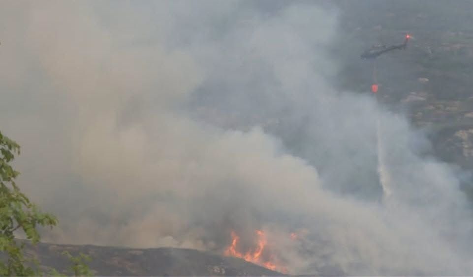
- Forest fires;
- Drought;
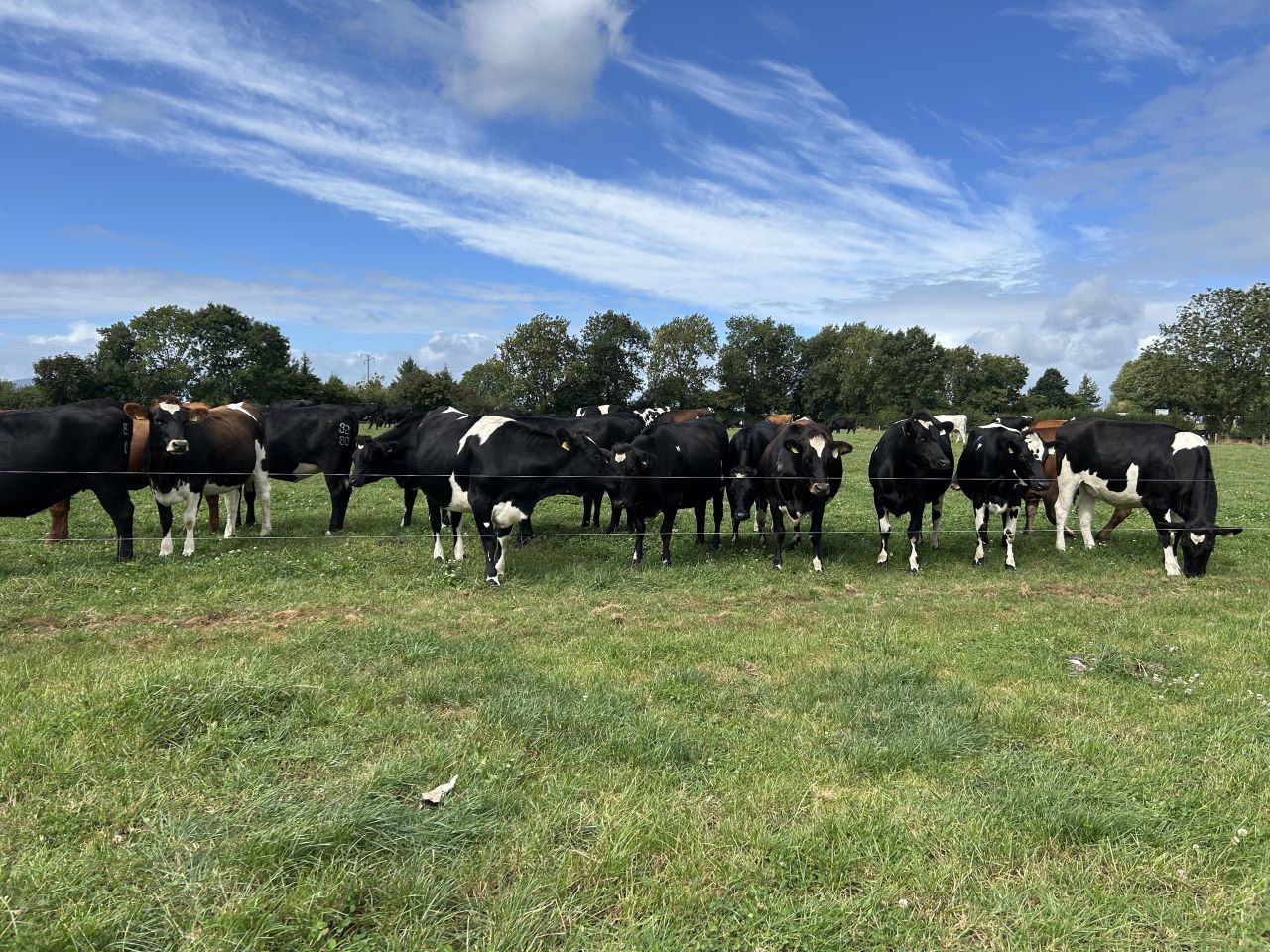
- Animal welfare issues.
The weather warning will remain in place for the rest of today, all day tomorrow, Thursday right up to 6:00 on Friday morning.
Deatailed weather forecast
Looking at the details of the weather for the next few days, today will be mostly dry, sunny and very warm.
A few isolated light showers may develop in the south-west, most likely during the late morning with the chance of an odd shower during the afternoon and evening too.
Highest temperatures of 23° to 30° are expected, coolest near the east coast as a result of light easterly breezes.
It will be another dry and mild night with long clear spells. Lowest overnight temperatures will range from 13° to 17° in light northerly or variable winds.
It will be another very warm day tomorrow, Thursday. There is a chance of isolated showers in the south-west, but otherwise it will be dry and sunny.

Highest temperatures of 24° to 30° are expected, but it may not be as warm near some northern coasts due to a light to moderate north to north-east breeze and possibly some coastal fog.
Thursday night will be dry with long clear spells and possibly patches of mist and fog.
Lowest temperatures will range from 13° to 17° in light to moderate northerly winds.On Friday, most areas will be dry, sunny and warm or very warm with temperatures reaching 23° to 28°.
Some cloud will affect the north and north-west, keeping highest temperatures in this area around 17° to 20°, in a light to moderate northerly wind.Friday night is forecast to be dry and clear with a light to moderate northerly breeze with lowest temperatures of 11° to 15°.
Weekend weather outlook
Saturday looks set to be dry, warm and sunny with the sunshine turning hazy from the north through the day.
Temperatures should generally reach 22° to 26° in Munster and Leinster.
It may not be as warm in the Ulster and Connacht though, with highest temperatures of 17° to 21° due to a light to moderate northerly breeze and some cloud at times.It will be a cooler day on Sunday and mostly sunny apart from some cloud near northern coasts.
Highest temperatures of 20° to 24° are expected, cooler again near northern and north-western coasts, in a light northerly breeze.
Farming
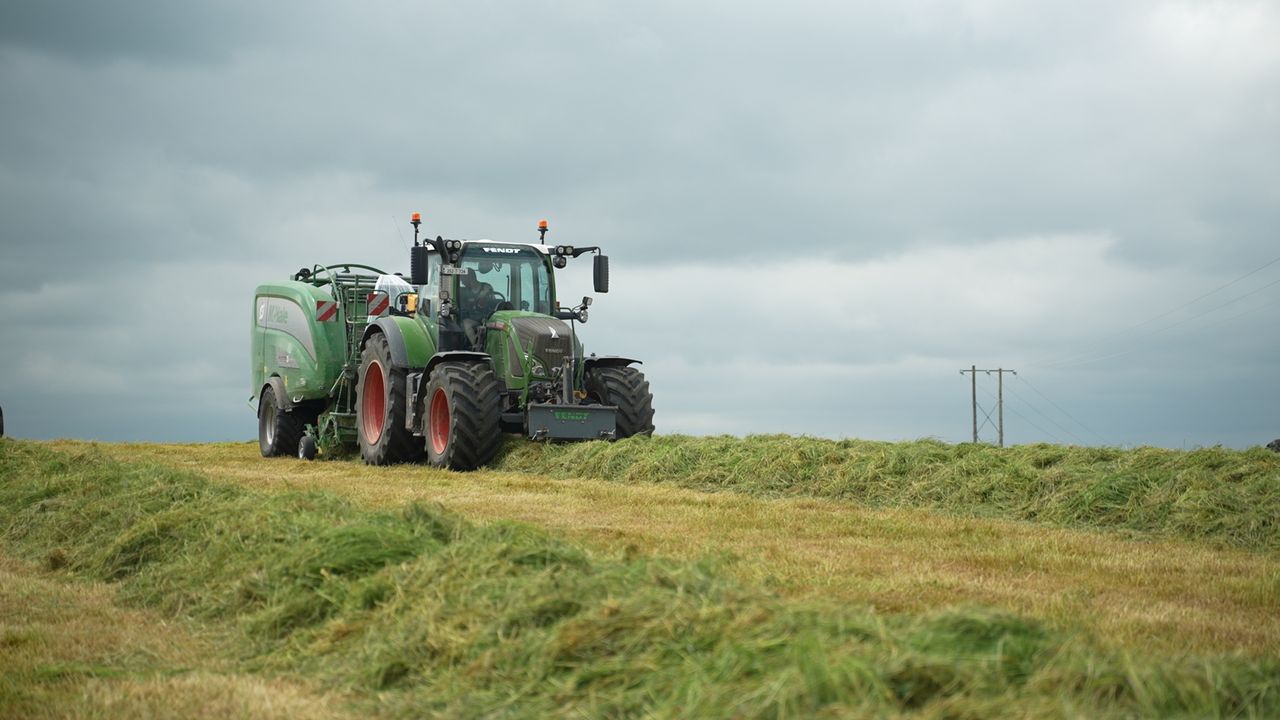
Drying conditions will be good or very good over the coming days due to settled and very warm conditions.
From today, Wednesday, there is the small chance of a few heavy showers or thunderstorms, which will bring poor drying conditions to some areas if they occur.
There will be good opportunities for spraying over the coming days with dry conditions and moderate winds.
However, it will be very warm so the window for spraying may be limited to the cooler hours of the morning and late evening.
Field conditions
All soils are trafficable at present with soil moisture deficits (SMDs) ranging from 10mm in the north-west to 70mm in the south-east.
There is restriction to growth in many parts of Leinster and Munster.
SMDs will increase nationwide over the coming week, likely ranging from 30mm in the north-west to 80mm in the south-east.
Growth will become increasingly restricted across Leinster, Munster and the midlands.