Farmers warned about low-flying aircraft which may startle livestock

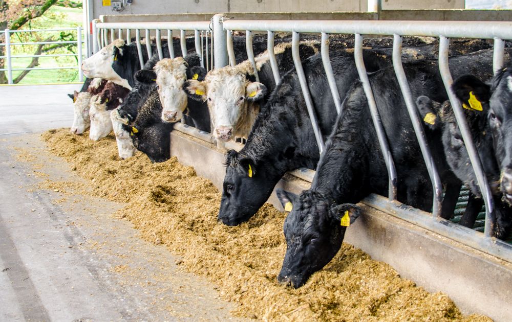
Farmers in counties Mayo and Donegal have been warned about a low-flying aircraft in the coming weeks, which could startle livestock.
The low-flying aircraft will be carrying out survey for the Tellus project, a ground and airborne geoscience mapping programme, in early March.
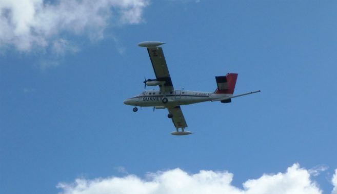
The aircraft scheduled to carry out the work is expected to fly at a height of 60m, approximately eight times the height of a two storey house.
The aircraft is a white twin propeller plane operated by the specialist survey company, Sander Geophysics Ltd, and is easily identified by its red tail, black stripe and registration number C-GSGF.
Tellus operates an extensive communications programme to inform the public of survey operations, Project Manager Aoife Brady said.
“We are in close contact with the local community in the area to make sure that people and animals on the ground are not disturbed by survey operations,” she said.
Anyone who has concerns about the low-flying aircraft in relation to sensitive animals is urged to get in touch, she added.
The project also carried out survey activity in 2016 across counties Galway, southern Mayo, and neighbouring parts of Roscommon, Offaly, Clare and Tipperary, the results of which are due to be released in the coming weeks.
Equipped with state-of-the-art geophysical technology, the aircraft will be based at Sligo airport and will be flying over Mayo and Donegal, weather permitting, into the autumn months.
Survey activity will assist in understanding the local environment, soil management and natural resource potential for these counties, according to the Department of Communications, Environment and Climate Action.
Previous phases of Tellus have prompted significant international interest in mineral exploration, the Department said.
The project has also provided information for more detailed radon risk maps by providing an up-to-date, comprehensive picture of the country’s geology, it added.
This stage of the project in Co. Donegal follows on from previous surveying by the Tellus Border project across eastern parts of the county in 2011.
The completion of the western part this year will allow for county-wide geological insights, the Department said.
Significant discoveries in relation to the geological composition of Ireland continue to be discovered through the project, Director of Geological Survey Ireland, Koen Verbruggen, said.
“By using the latest technology, the next phase of the survey will be delving deep into the environment and natural resources of two regions which are home to some of the oldest rocks in the country.
“With resulting data supporting the protection of public health, agricultural productivity and the assessment of natural resources, the work of the Geological Survey Ireland through the Tellus project continues to provide widespread benefits for the areas surveyed, and Ireland as a whole,” he said.