Expansive soil benchmarking project to be rolled out across NI


An innovative soil sampling pilot incorporating LiDAR data is likely to be extended across the whole of Northern Ireland to provide a baseline for future environmental programmes.
LiDAR is a method for determining ranges by targeting an object with a laser and measuring the time for the reflected light to return to the receiver. The resulting data can be used to build a digital model of the terrain it is used on.
Getting farmers the ‘right information’
Speaking at the Stormont Agriculture Committee on Thursday (March 25), Dave Foster, director of Regulatory and Natural Resources Policy at DAERA, explained that the two soil sampling schemes run in 2018 across the Strule and Colebrooke catchments had been a “success” in terms of their environmental outcomes.
Foster added that the minister was “keen” to expand the scheme across the whole of Northern Ireland to provide a baseline for environmental outcomes.
“The fundamental thing is that if farmers have the right information they can make the right behavioural changes, because it’s no benefit to them losing nutrients to watercourses,” he said.
When [nutrients] are in the right place – on their fields – it’s actually going to be an economic benefit to them.
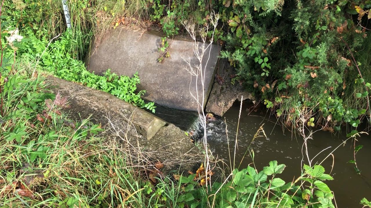
Foster explained that there had not yet been any “positive statistical change” in nutrient concentrations in freshwater so phosphorus and nitrogen remain problems in Northern Ireland.
“So there’s certainly more to do,” he said. “There are a number of initiatives, ongoing at the moment that will hopefully, as they come to fruition, start to turn the curve in relation to nutrients.
Ultimately, the most important thing is to have the right amount of nutrients in the right places on fields at the right time, so that it maximises productivity for the farmer [and] minimises any excess nutrients entering watercourses – and the key way to understand that is by having a good detailed understanding of soil nutrient concentrations.
“The department a couple of years ago ran two pilot soil sampling schemes, which we found successful in giving farmers the right information, in terms of soil concentrations and then overlaying with LiDAR maps to actually show where the runoff risks were on-farm.
“We’re very keen that this launches in a timely manner to set up a further scheme to roll that out over and over the years, across Northern Ireland to provide a baseline of information for soil nutrients, which will then underpin further schemes under the new agricultural policy.”