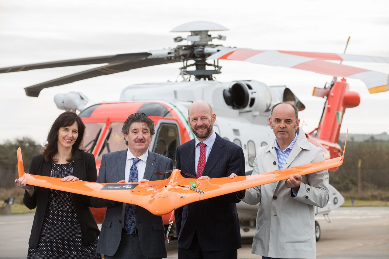
€6.3 million funding granted to Irish drone technology research

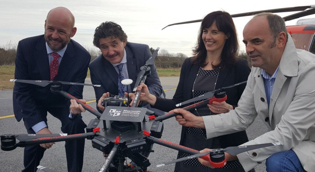
Minister of State for Training, Skills, Innovation, Research and Development John Halligan has today announced funding of €6.3 million for drone technology.
The funding – which consists of €1.8 million from Science Foundation Ireland (SFI), and a further €4.5 million investment from industry (cash and in-kind) – will be going to a new drone technology initiative known as U-Flyte.
This drone operation is run by Dr. Tim McCarthy of Maynooth University Department of Computer Science and National Centre for Geocomputation.
U-Flyte is an SFI Strategic Research Partnership award based at Maynooth University that involves collaboration with partners across the aviation industry, and includes input from 18 companies and agencies.
Speaking at the launch, Minister Halligan said: “The U-Flyte programme will play a hugely important role in developing drone technology for use around the world, and it is using Waterford Airport as a test bed.”
Dr. Tim McCarthy added: “Drone technology has the potential to be used for a wide range of practical applications – from the simple delivery of online shopping, to capturing data for maps of farms, forests, lake and coastlines, and providing security surveillance in vulnerable areas.
“This project will be using the latest navigation, optical, and radar sensors on-board our drones to gather data and feed it back through a system of connected secure networks to powerful computing platforms.”
These guidelines, although necessary, restrict the wider development and uptake of drone applications and services, according to the developers.
The stated aim of U-Flyte is to provide research, data and case studies to guide agencies and industry in allowing drones to safely fly further and higher than the current limits.
Margie McCarthy, director of innovation and education at Science Foundation Ireland said the potential societal impact of drone technology spans multiple sectors including agriculture, marine, emergency services, and transportation.
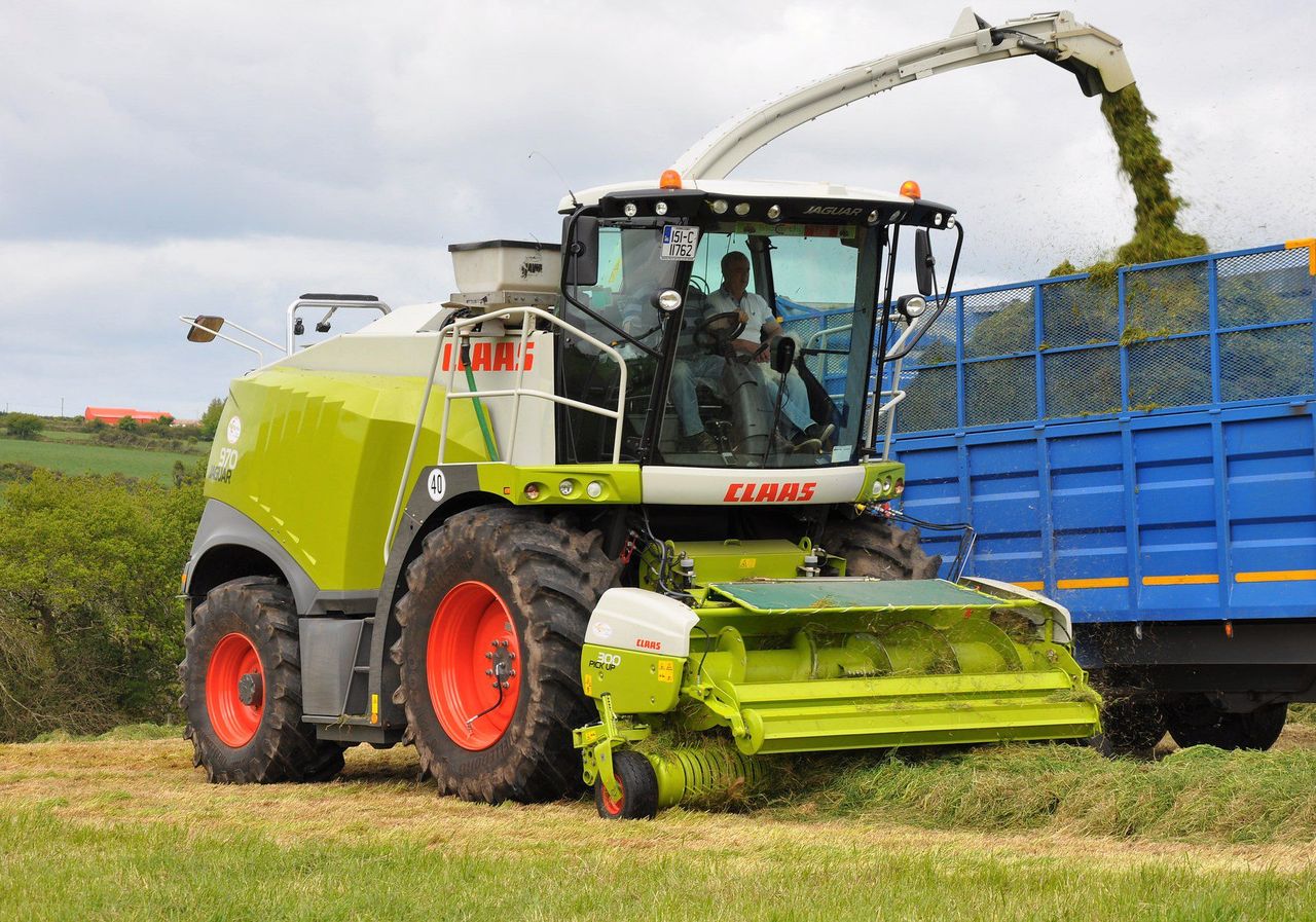
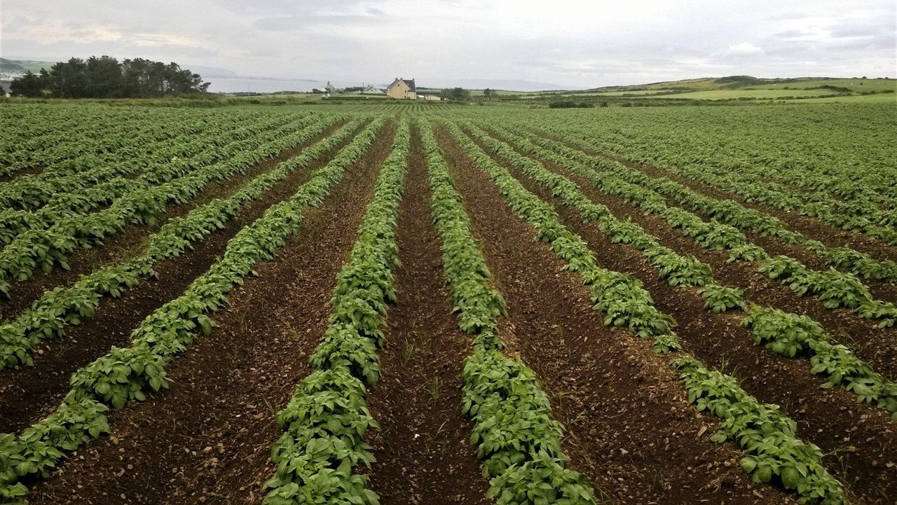
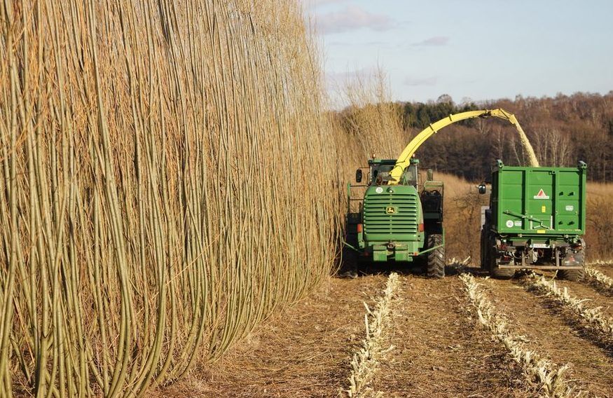
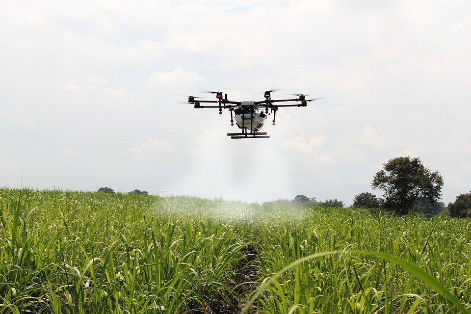
Drone use in agriculture
Drones equipped with multi-spectral cameras are used to assess various information such as crop health, storm damage, fertiliser application examination and for research purposes.
At a seminar on the subject in University College Dublin last year, David Kelly, of Capturing a World Ltd, explained the usefulness of such technology.
He said: “We use either RGB (red, green and blue) cameras or multi-spectral cameras that are suitable for determining agricultural indices, such as normalized difference vegetative index (NDVI).
The benefit of these indices is that they can give a quick overview of the condition of a field. This can be interpreted by an agronomist. The data can be used to determine prescriptions for fertiliser applications and so on.
“In France, for instance, this has seen wheat fields show 10-15% increases in yield, when prescriptions have been determined by aerial mapping.”
Explaining the usual procedure for a run over a crop, Kelly noted that a flight takes an average of about 30-40 minutes depending on field size, as well as two to three hours to process the data.