Cold wintry week in store with rain to roll in over coming days


A cold week is in store for the country, with rain to roll in across Ireland in the coming days, according to Met Éireann.
Starting off with today’s weather, the national meteorological office notes that there will be icy stretches this morning and some lingering fog patches in the midlands, leading to dangerous driving conditions in some areas.
A Status Yellow fog warning remains in place for the country until 1:00pm today.
It will brighten up through the day as the fog slowly lifts with sunny spells; however, there will be scattered showers in Ulster and along eastern coasts.
Today will be very cold with afternoon highs of just 1° to 4°, coolest where fog lingers. A light northerly breeze will turn light to moderate northwesterly later.
Tonight will be mainly dry for much of the country but showers will affect Ulster and western coastal counties.
Frost and icy patches will form under any clear spells, Met Éireann notes.
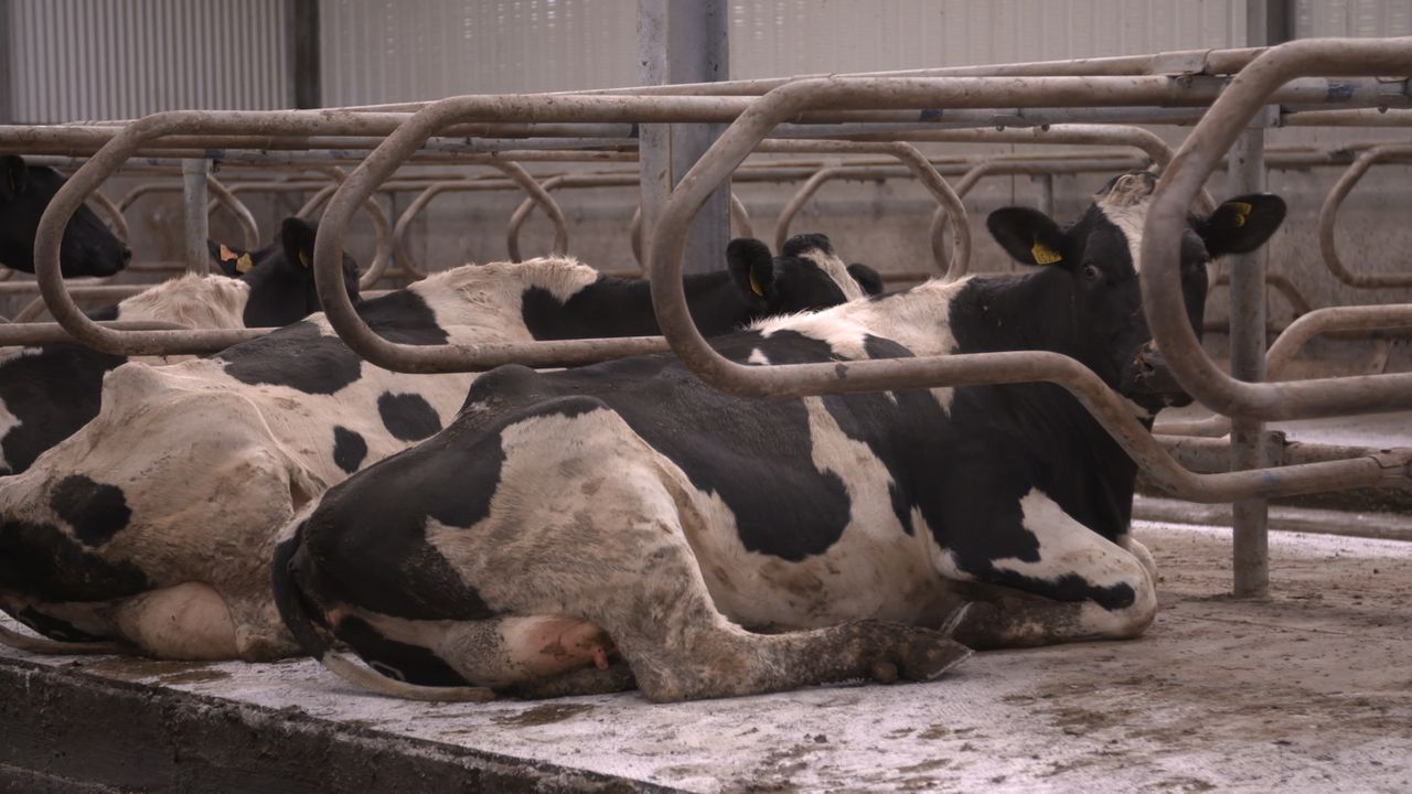
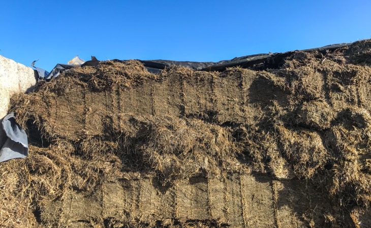
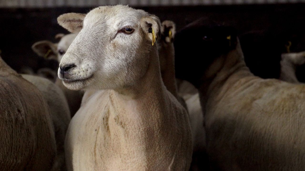
Farming and field conditions
Limited drying will occur over the coming week with spraying opportunities also curtailed.
Poor field trafficability can be expected to continue for the most part with waterlogging risks returning later in the period.
Tomorrow
It will be breezy tomorrow with scattered showers through the morning but the day will become largely dry for most of the country by the afternoon. Outbreaks of rain will affect Ulster and parts of north Leinster.
Moderate to fresh northwest winds with temperatures of 5° to 8° are expected in the afternoon.
Rain will continue to affect parts of Ulster overnight tomorrow but it will be mainly dry elsewhere with clear spells.
Cloud will thicken in the west towards dawn, the forecaster says, with lowest temperatures of -1° to +3° expected, coldest in the east with patches of frost.
Outlook
It will be dry across the country to start on Wednesday but cloud will thicken from the west in the morning with outbreaks of rain arriving on Atlantic coasts by midday.
The rain will extend countrywide through the afternoon and evening, turning heavy at times. Light easterly winds will back southeasterly and freshen ahead of the rain. Highs of 5° to 8° are forecast, Met Éireann adds.
Thursday will be cloudy and largely dry to start with, with light westerly winds; these winds will turn southerly and freshen with another spell of rain coming from the west later, heavy at times. Afternoon temperatures of 7° to 10° are expected.
Thursday night will see outbreaks of rain, heavy at first but turning patchy later in the night. Lows of 4° to 6° in moderate southeasterly breezes are anticipated.