A cold weekend ahead with severe frost and ice - Met Eireann
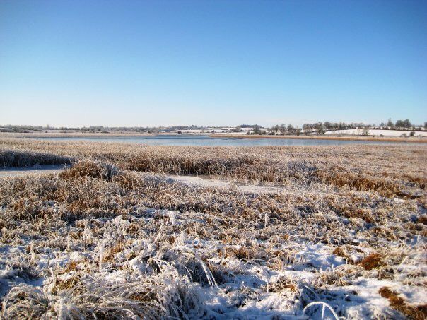
There is a cold weekend ahead, with widespread severe frost and icy conditions, according to Met Eireann.
Today, Friday, will be cold and mostly cloudy with outbreaks of rain.
The rain will will be persistent at times and it is also promised to fall as sleet in places.
Highest temperatures today will reach between 3 and 7 degrees with light to moderate variable or northerly breezes.
The same can be said for spraying, there will be good opportunities up to early next week but less so thereafter.
Tonight will be cold with wintry outbreaks of rain, sleet and snow. Met Eireann has said that some moderate accumulations are possible before morning.
The driest and clearest weather will be across the north and northwest of the country, but it will also be coldest here too with a sharp frost and some icy stretches.
Frost is forecast in other areas too and lowest temperatures will range between 0 to minus 3 degrees with light northeast breezes.
These showers are promised to mainly affect Munster and most other areas will see a lot of dry but cold weather, with a mix of cloud and sunny spells.
Temperatures will be well below normal, with Met Eirenan indicating highest temperatures of just 5 to 8 degrees in light to moderate northeast breezes.
There will be a bitterly cold start to Sunday with frost and ice slowly clearing however, it will hold dry with sunny spells.
Again, Met Eireann has said temperatures will rise to higher than 5 to 7 or 8 degrees, but at least winds will be just light and variable.
Another sharp to severe frost is promised set in after dark, some mist and fog locally too.
For the weekend, Met Eireann has said many parts of the country will have a little less than normal rainfall for the transition to March.
However, rainfall amounts are likely to increase after the weekend, and consequently the northwest and west may receive above average rainfall over the whole week.
Outlook for next week – Met Eireann
It will become cloudy on Monday with scattered outbreaks of rain during the day, initially falling as a wintry mix in parts.
However Met Eireann has said that this will revert back to rain.
Winds will be moderate southerly, so it will feel less cold with highest temperatures ranging 7 to 10 degrees Celsius.
However, on poorly drained soils, saturation and waterlogging will persist however.
Current indications suggest that temperatures will recover slightly heading into next week, but will be on the cool side of normal.
It will be rather breezy with fresh westerlies, with occasional showers.