Changeable and unsettled weather to continue - Met Éireann

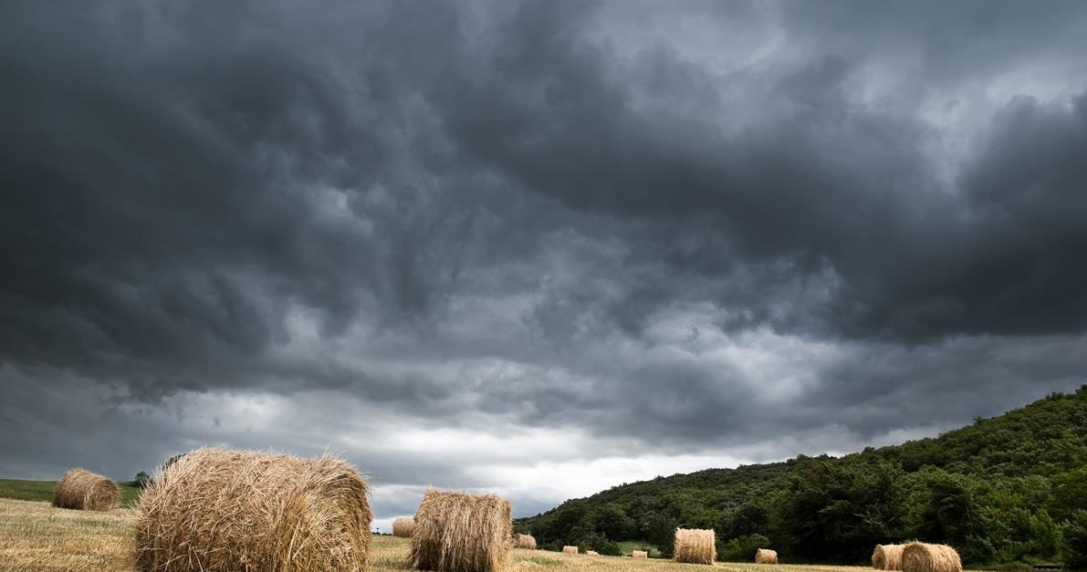
Changeable and unsettled weather will continue over the coming week, according to Met Éireann, with relatively cooler days on the way.
It will be dry in most areas at first today, Friday, July 24, with some bright spells in the east, the national meteorological office says.
However, rain will develop in west and southwest coastal areas, extending gradually eastwards during the morning and afternoon, with some heavy and possibly thundery bursts expected, especially in the west and north.
Today will be humid, with hill and coastal fog developing. Some dry spells will develop later, with rain becoming more intermittent, according to the forecaster.
Tonight will be mostly cloudy, with outbreaks of rain and drizzle, with hill and coastal fog.
It will be less humid and mainly dry conditions will extend from the Atlantic, with just a few showers along Atlantic coasts, Met Éireann notes. Minimum temperatures will stay at 12° to 15°, in mostly moderate southwesterly winds.
Drying conditions will be variable or poor at times, especially today and tomorrow. Current indications show rain expected for over much of the country on Monday but drying conditions may improve in the following days.
Meanwhile, it is a similar story for spraying conditions with restricted opportunities today and tomorrow. However, limited spraying opportunities may arise on Sunday as showers become scattered with more general spraying opportunities from Tuesday.
Elsewhere, soils are close to saturation or slightly drier. Soil moisture deficits are likely to reduce in the west and midlands over the coming week, while remaining at similar levels elsewhere, Met Éireann notes.
Tomorrow
Tomorrow will brighten up, with sunny spells developing, but scattered showers will extend from Atlantic coastal areas; these will become widespread during the day, according to Met Éireann.
Some of the showers will be heavy and thundery during the afternoon and early evening. Maximum temperatures will reach 15° to 20°, in mostly moderate westerly winds, which will be gusty in showers.
There will be further scattered showers in Atlantic coastal counties, which will merge to give longer spells of rain in west Connacht and west Ulster later.
Minimum temperatures will drop to 10° to 13°, in light to moderate southwest winds.
Sunday
Sunday will start off mostly cloudy in the morning, with a band of showery rain moving eastwards across the country.
Conditions will brighten up in the afternoon, with some sunny spells developing and just a few scattered showers, according to the meteorological office.
Sunday should stay mostly dry overnight, with clear spells, but rain will develop in the southwest later, while minimum temperatures will range from 7° to 11°.