Weekend weather forecast: Cold wintry showers and thunderstorms

The weather forecast for the weekend looks a little bleak according to the latest forecasts from Met Eireann.
Temperatures, which have cooling in recent days, are expected to drop further bringing frost, hail and in some instances, snow.
There will be poor drying conditions due to showers and colder than normal temperatures.
Spraying
There will be limited opportunities for spraying over the next few days. Although winds will be generally light from Friday, widespread showers are expected, which will be heavy at times.
There may be some opportunities on Sunday afternoon when showers are expected to die out. More unsettled and breezier conditions expected next week will also limit spraying opportunities.
Field Conditions
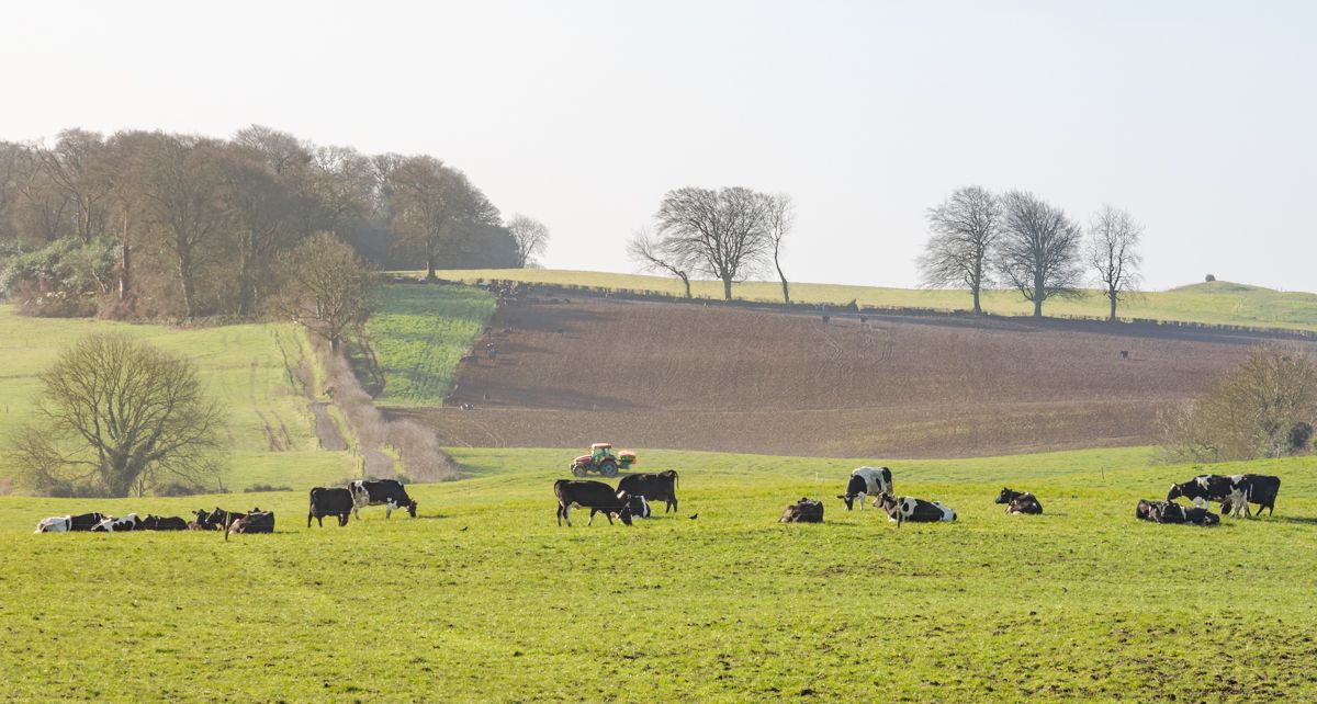
With the dry weather over the past week, there has been improved trafficability in all soil types.
Over the coming week, with above average rainfall forecast for the northwest, soils will likely become saturated near coastal areas.
Weather forecast today
It will be a cool day today (Friday, April 9), with a mix of sunny spells and scattered showers. Some of the showers will be wintry with the risk of isolated thunderstorms.
The showers will become widespread across the country this afternoon, with the possibility of snow on higher ground later in the day and temperatures will range from 5° to 10°.
Alongside the showers, light to moderate northerly breezes will be gusty.
Weather forecast for tonight
Met Eireann has said it will be very cold tonight with temperatures dropping to between -3° to +1°, with a widespread sharp to severe frost forming and some ice patches.
Scattered wintry showers will clear in the south of the country overnight with further wintry showers moving into the north bringing a risk of isolated thunderstorms.
Saturday forecast
Tomorrow, Saturday, will have a cold, bright start, with good spells of sunshine. It will be dry in many places with wintry showers skirting northwestern and northern coasts in the morning.
However, cloud will increase through tomorrow afternoon with showers of rain, hail and sleet developing and becoming widespread later in the day with a risk of thunderstorms too.
There'll be some snow showers also, especially over higher ground but the showers will become isolated in the evening.
Highest temperatures tomorrow will range from 5° to 9° - coldest in the north, in light to moderate northerly breezes.
The showers will become mainly confined to coastal areas overnight on Saturday. The bulk of the country will be dry with mostly clear skies but it will be another very cold night with a widespread sharp frost and some ice, with lowest temperatures of -3° to 0° in general.
Winds will be mostly light northerly, moderate along the western coasts.
Sunday
There will be another cold and bright start to Sunday with plenty of sunshine and just isolated coastal showers.
The national forecaster has said that cloud looks set to increase from the northwest through Sunday afternoon with rain affecting most of Ulster and Connacht through the day.
Much of the south and east will hold dry with some sunshine.
Highest temperatures on Sunday will range from 5° to 9°, in mostly light north to northwest breezes.
Outbreaks of rain will continue overnight on Sunday, mainly in the west and northwest. Some clear spells will develop elsewhere.
Lowest overnight temperatures will range from 1° to 5° with light westerly winds.
Outlook for next week
While there will be some bright or sunny spells to start the week in the east and south, it will become increasingly cloudy, with outbreaks of showery rain spreading from the northwest throughout Monday.
However temperatures will be milder than the weekend rising to about 10° generally.
Drier brighter weather lies in store on Tuesday however temperatures are still generally below average for the time of year.