Weather unsettled to start this week with warnings issued

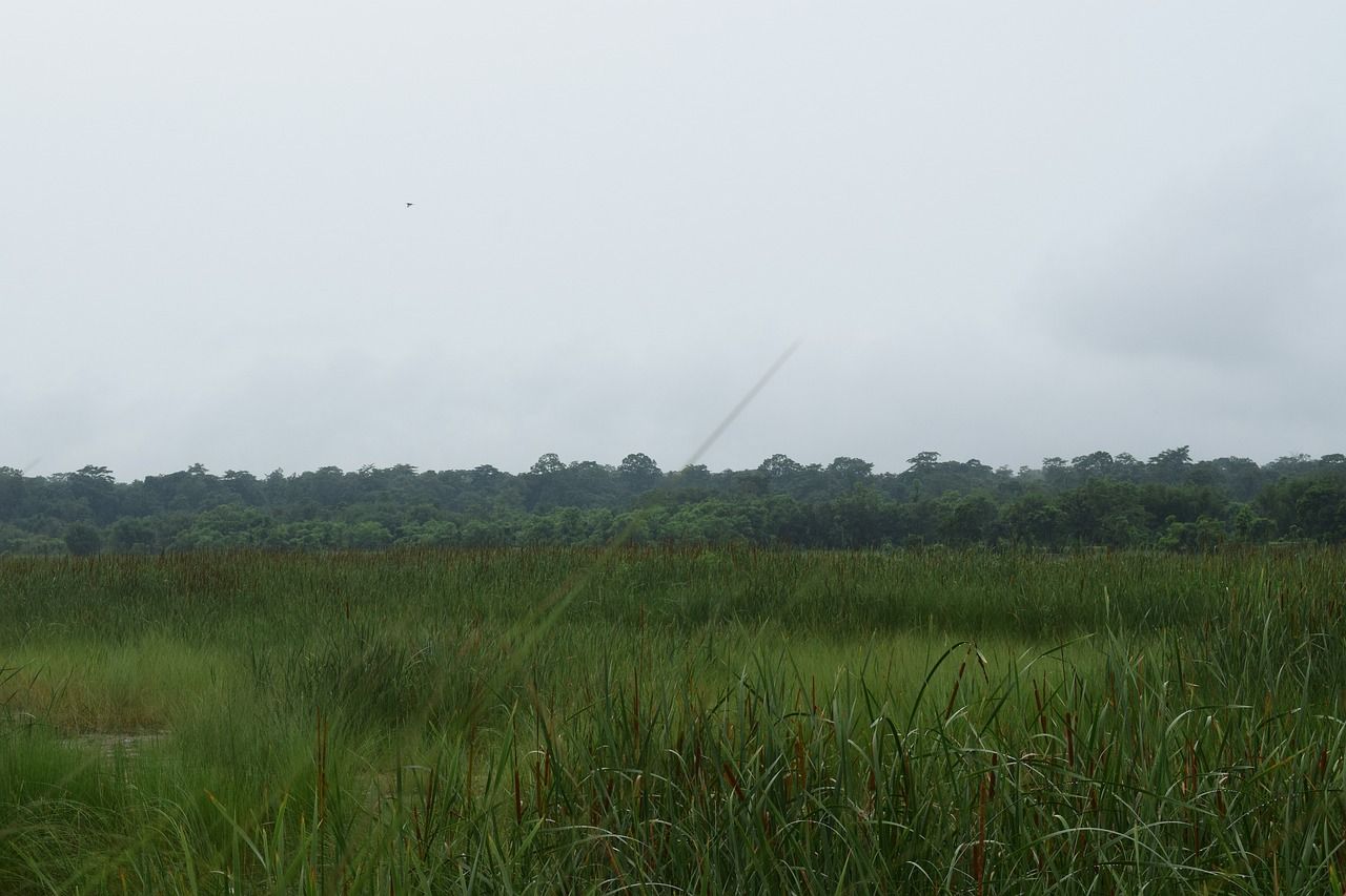
The weather this week will continue unsettled, although it may turn drier later in the week, Met Éireann has said.
Several Status Yellow warnings for wind and rain have been issued by Met Éireann.
A warning will come into effect at 1:00p.m today (Monday, November 16) for counties Cork and Waterford; and another warning will come into effect at the same time for Co. Kerry.
Both these warnings will be in effect until midnight tonight.
A further warning for counties Galway, Mayo and Sligo will come into effect at 3:00p.m today, while another warning for Co. Donegal will come into effect at 7:00p.m this evening.
Both of these warnings will be in place until 4:00a.m tomorrow morning (Tuesday, November 17).
Across all of these counties and warnings, spells of heavy rain, and strong and gusty southeast winds, are expected.
People in these counties should expect difficult travelling conditions; debris and loose objects displaced; and some localised flooding.
Today's forecast
In general, this morning will be mostly dry and bright with frost and icy patches, away from the south-west, which will gradually clear. Cloud will increase from the south-west.
Through the afternoon, rain will spread north-eastwards over Munster, Connacht and much of Leinster with localised flooding and south-easterly winds increasing very strong and gusty. Ulster will stay dry until after dark.
Highest temperatures will be 4° to 7° generally, but milder in the southwest.
Rain and strong winds will spread to Ulster through the evening with some wintry falls on hills for a time. Overnight, the rain will turn more showery elsewhere and the winds will ease.
Lowest overnight temperatures will be 2° to 7° generally but milder near southern and south-western coasts.
Rest of week
Tomorrow (Tuesday) will bring scattered showers and sunny spells with rain lingering for a time in the far north. More frequent and heavier showers will follow from the south-west later.
Highest temperatures will be 7° to 12° in moderate south-west winds, fresher along the Munster coast, but easing variable over Ulster.
Tomorrow night will bring further showers, becoming largely confined to western parts later. Lowest temperatures will be 3° to 8° in a moderate south to southwest wind.
Showers, some of them heavy, will affect many areas on Wednesday (November 18).
There will be occasional bright or sunny spells too, with highest temperatures ranging between 7° and 11°. Moderate to fresh southerly winds will ease light to moderate through the day.
Met Éireann said that Thursday (November 19) looks set to be a mostly cloudy day with outbreaks of rain in parts. Moderate east to northeast winds will become cyclonic along the south coast.
Highest temperatures are expected to be 7° to 11° in a light northeasterly or variable breeze.
As rain eases away southwards, some frost will form in northern areas on Thursday night with some fog patches too.
Friday (November 20) looks set to be a mostly dry day with sunny spells and light winds. Highs temperatures will be 6° to 10° with frost forming in the north again overnight.
Met Éireann said that, currently, it looks like Saturday (November 21) will be milder and a bit breezier, and still mostly dry but with some rain likely later in the west.