Weather to be unsettled overall, turning colder from midweek

The weather this week will be unsettled overall, turning colder for a time from midweek, Met Éireann has forecast.
Today (Monday, November 29) it will be generally cloudy to start, with patches of rain or drizzle.
There will be good dry spells in the afternoon in most places, with the patchy rain mainly becoming confined to the west and northwest.
There will be some pockets of mist or fog too. Sunny spells will develop during the day, the best of these in the south. There will be light to moderate west to northwest winds, turning fresher later this evening.
Temperatures will be back to normal with highs of 8° to 11°.
Tonight will be a milder night than of recent with cloudy or misty conditions. There will be patches of rain or drizzle, most persistent in Atlantic coastal areas. There will be lowest temperatures of 7° to 9° with moderate to fresh west to northwest winds.
Tomorrow (Tuesday) will be dry in many parts for the morning with just patches of drizzle and cloudy or dull conditions.
Heavy rain will develop in the west and northwest by around midday and spread southeastwards through the afternoon.
It will become breezier too with freshening southwest winds, increasing strong in some coastal areas. Rain will clear to showers later in the evening. There will be highest temperatures of 9° to 11°.
Tuesday night will be breezy with scattered showers or longer spells of rain, some showers heavy. There will be clear intervals too.
Weather to turn colder
Wednesday will bring blustery showery weather, with showers prolonged at times, some possibly heavy. There will be sunny spells between showers.
Showers will be most frequent in the west and north. It will be quite windy in fresh to strong northwest winds, with highest temperatures of 6° to 9 °, coldest in Ulster.
Further showers will feed in from the north on Wednesday night, some possibly turning to sleet. Showers will become more isolated overnight as northwest winds ease light to moderate.
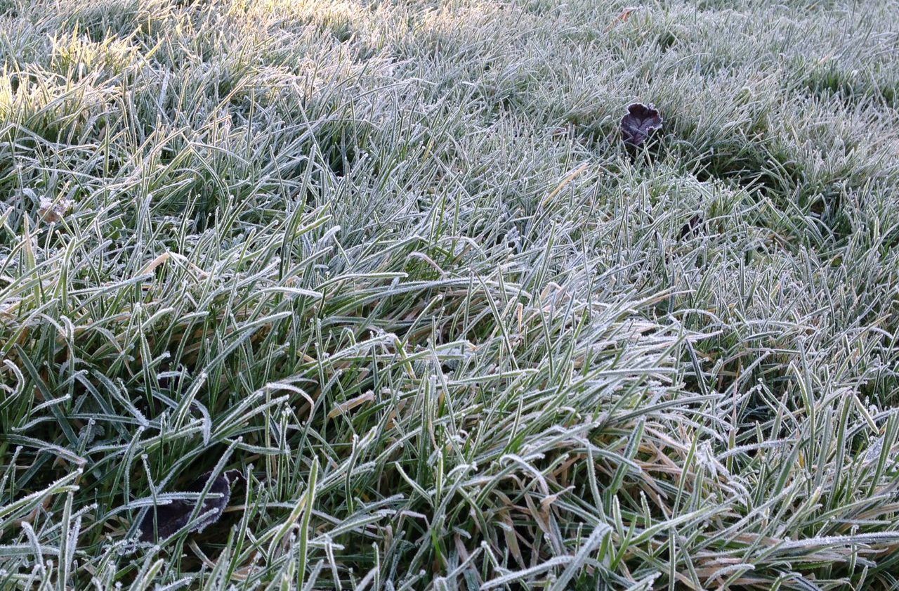
It will be a cold night with some frost forming under long clear spells in lowest temperatures of -1° to +3°, not as cold in western coastal areas.
Thursday's weather will be dry and broadly sunny to begin, but cloud will thicken from the west through the morning.
It is expected to be quite cold with afternoon temperatures of 4° to 8°.
Rain will move into the west later in the afternoon, and it will turn breezier. The rain may fall as sleet for a time initially as it moves eastwards later.
It will be cold early in the night in many parts with temperatures near freezing. However, it will turn milder as wet and breezy conditions in the west quickly spreads eastwards overnight. Rain will clear to showers before dawn.
There will be scattered showers and sunny spells on Friday, showers most frequent in the west and northwest. It will feel chilly in the afternoon with highs of 5° to 8° and a moderate to fresh northwesterly breeze.
Drying, spraying, field conditions
Drying conditions will be moderate or poor over the next week. It will be mainly cloudy with showers and spells of rain at times, limiting any drying.
There will be very few opportunities for spraying in the coming week.
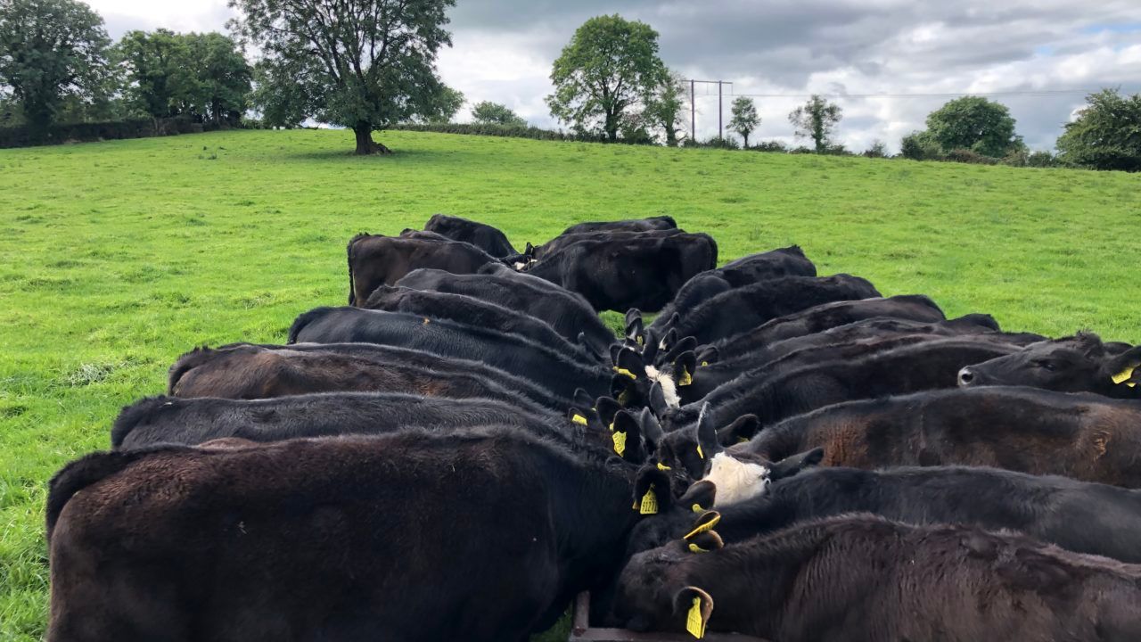
All soils are saturated at the moment, with poorly-drained soils away from eastern and southeastern coastal areas waterlogged. Increased rainfall over the next seven days will result in soil conditions worsening.
Poorly-drained soils will become waterlogged countrywide, with moderately-drained soils becoming waterlogged in many areas. Poor field trafficability can be expected.