Weather forecast: Mild with showers in many areas


The week looks set to bring a mixture of mild temperatures with showers according to the latest weather forecast from Met Éireann.
This morning (Tuesday, March 19) will be dry for many with sunny spells and just a few showers.
It will turning cloudier from the south this afternoon with more frequent showers developing towards evening, some of which will turn heavy with the chance of an isolated thunderstorm.
More persistent rain will develop in the south later and highest temperatures will range from 10°C to 14° in a light westerly or variable breeze.
It will be a wet night tonight with widespread and occasionally heavy showers at first. Rain and drizzle in the south will spread northwards across much of the country overnight.
However, some parts of the west and north-west will stay dry and lowest overnight temperatures will be 3° to 7° in light to moderate northerly winds.
Weather forecast Wednesday
It will be a cloudy start to Wednesday with rain over the eastern half of the country.
Rain will clear into the Irish Sea by Wednesday afternoon and it will turn dry with spells of sunshine across the country.
Highest temperatures will range from 8° to 12° in light to moderate northerly winds.
Wednesday night will see a dry and clear to start the night. It will turn cloudier overnight with rain developing over the western half of the country by Thursday morning.
Quite cold with lowest temperatures of 0 to 4 degrees with light southerly winds increasing moderate to fresh overnight.
Rest of the week
Thursday is forecast to be a dull day with patchy rain and drizzle spreading eastwards across the country in the morning.
Another band of rain will push into the west and north-west through the afternoon and evening but it will turn drier elsewhere.
It is expected to be breezy in moderate to fresh south-west winds with highest temperatures of 11° to 15°.
Outbreaks of rain will spread south-eastwards early on Thursday night; with clear spells and isolated showers following from the north-west. Lowest temperatures of 5-8° in moderate to fresh westerly winds.
Friday will be a blustery day with a mix of sunny spells and scattered showers. Some showers may be heavy with a chance of hail.
Fresh and gusty north-west winds with highest temperatures of 8° to 12°.Looking ahead to next weekend, Saturday is expected to be windy with showers and some sunny spells.
Some heavy showers are possible with the continued chance of hail. Fresh to strong and gusty north-west winds. It will feel cooler too with highest temperatures of 6° to 10°.
Current indications suggest that showers will become more scattered on Sunday with longer dry spells. However, further rain and showers will spread from the west next week.
Farming
Drying conditions will be generally moderate or poor this week, as any dry spells will be short lived according to Met Éireann.
Opportunities for spraying will be limited this week too. Best opportunities are at times on Tuesday and Wednesday.
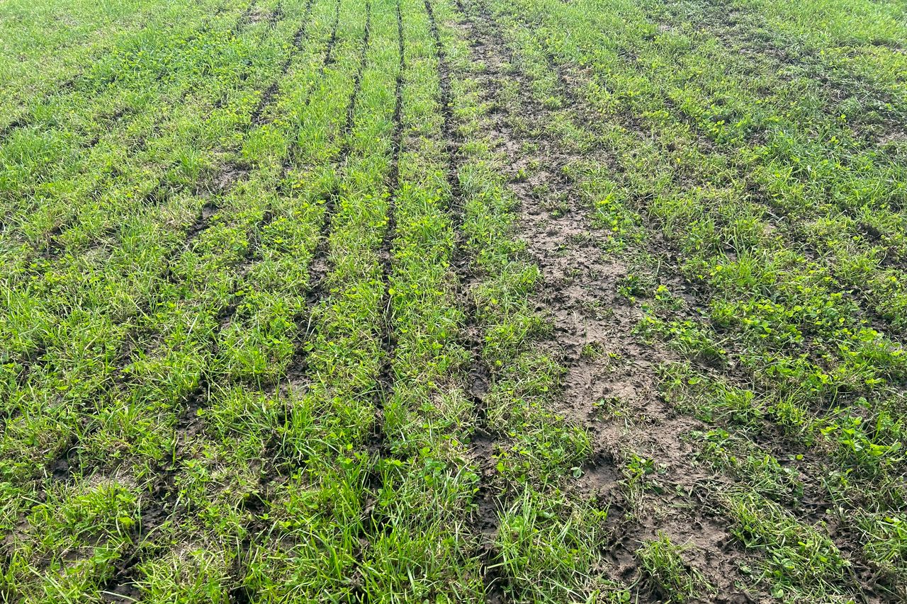
In terms of field conditions, all soils are currently saturated or waterlogged and not much change can be expected over the coming week.