Very cold conditions in store over coming days

The coming days will become progressively colder, hitting as low as 1° daytime temperature, according to Met Éireann.
Most parts of the country will start off dry with sunny spells this morning (Friday February 5). However, showers will feed into coastal counties during the morning and will spread further inland through the afternoon and evening.
It will be a cold day, with highest afternoon temperatures of 4° to 7°, in light to moderate variable winds, fresh near coasts in the west and southwest.
Tomorrow (Saturday, February 6) will be largely cloudy, although sunshine will break through at times. Most areas will stay dry throughout the day, but there will be well scattered showers in the eastern half of the country.
It will be another cold day, with highest afternoon temperatures of 3° to 6° in light to moderate north to northeast breezes.
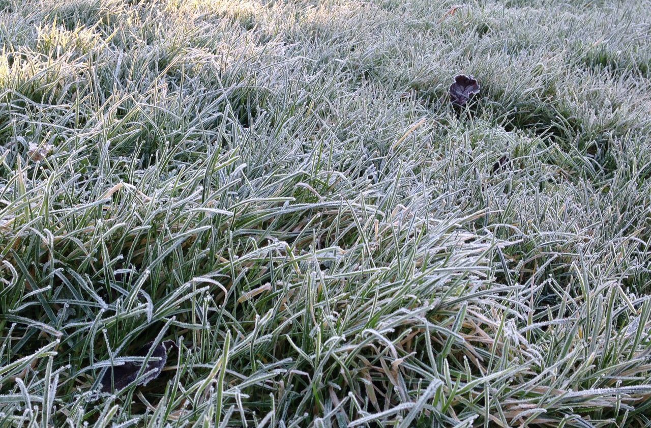
Saturday night will see isolated showers near coasts, though otherwise it will be mostly dry under broken cloud. There will be some frost and possibly ice with lowest temperatures of -1 to +3°, in moderate easterly winds.
Sunday night will be very cold with widespread frost and ice. Scattered wintry showers will move into the east with a dusting of snow possible. Lowest temperatures will be -3° to +1° in moderate easterly winds.
Scattered wintry showers will continue on Monday (February 8) and Monday night, mainly affecting the east and along north coasts. It will be bitterly cold, with daytime temperatures of 1° to 3° and nighttime lows of -3° to 0° in moderate to fresh east to northeast winds.
Temperatures on Tuesday (February 9) will be similar to Monday, but there will be an added wind-chill factor as easterly winds increase fresh and gusty. There will be wintry showers in the east and near northern coasts at first, but extending to other areas later.
Tuesday night will be bitterly cold with widespread frost and ice as temperatures fall to between -4° and 0°. Most parts of the country will hold dry, with clear spells across the northern half of the island, where temperatures will be lowest. Some wintry showers will be possible in the east and north.