Unsettled and showery conditions forecast for the week ahead


Unsettled and showery conditions have been forecast for the week ahead, with some sunny spells likely at times.
Today (Monday) is set to be mostly cloudy, with outbreaks of rain and drizzle in the west and south-west this morning gradually spreading further eastwards.
The rain could occasionally turn persistent or heavy before clearing later in the afternoon to scattered showers and some bright spells. Top temperatures will vary between 11º and 15º in moderate to fresh and gusty south-west winds, but strong at times near coasts.
Scattered showers are expected to die out this evening. It will be mostly dry tonight with some clear spells developing, but showery rain will push into some western and southwestern coastal counties by morning, Met Eireann warned.
Lowest temperatures will stay around 6º to 8º in a light to moderate southwesterly breeze.
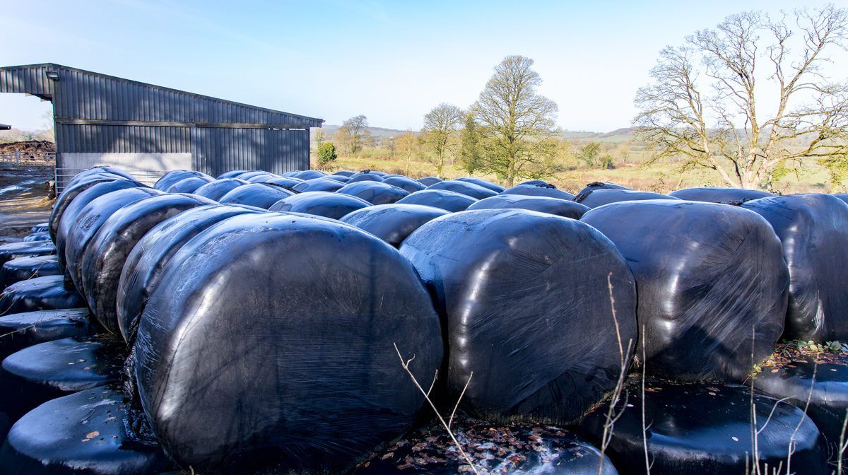
Moderate and well-drained soils are trafficable at present, while poorly-drained soils are still close to saturated.
There will be some deterioration over the coming week due to rain and showers, but – at this stage – the accumulations will be more manageable than they have been over recent weeks, Met Eireann added.
Tomorrow
Tomorrow, Tuesday, there will be showery outbreaks of rain with a few bright or sunny spells.
The rain could occasionally turn persistent or heavy over the southern half of the country, before clearing eastwards later in the afternoon or evening, according to the Irish meteorological office.
Temperatures will range from 10º to 13º and winds will be mainly moderate south-west to westerly, but occasionally fresh.
Scattered showers at first tomorrow night will become confined to Atlantic coasts later, with good clear spells developing. Temperatures may drop to as low as 4º overnight.
Wednesday
Wednesday is set to be a blustery and showery day with good sunny spells, but some showers are likely to turn heavy.
Meanwhile, similarly to the previous night, showers will become confined to Atlantic coasts with good clear spells on Wednesday night. Nights will gradually turn cooler with lowest temperatures around 2º to 6º.
Outlook
Thursday will see a mixture of scattered showers and sunny spells. Temperatures may be perhaps a degree or so cooler than the day before and moderate to fresh westerly winds will continue.
Winds are forecast to ease somewhat from Friday onwards, while showers are expected to become isolated. Top temperatures will hover around 10º.
Conditions will be cooler at night, with a touch of grass frost likely.