Relatively dry start to week but unsettled conditions to follow

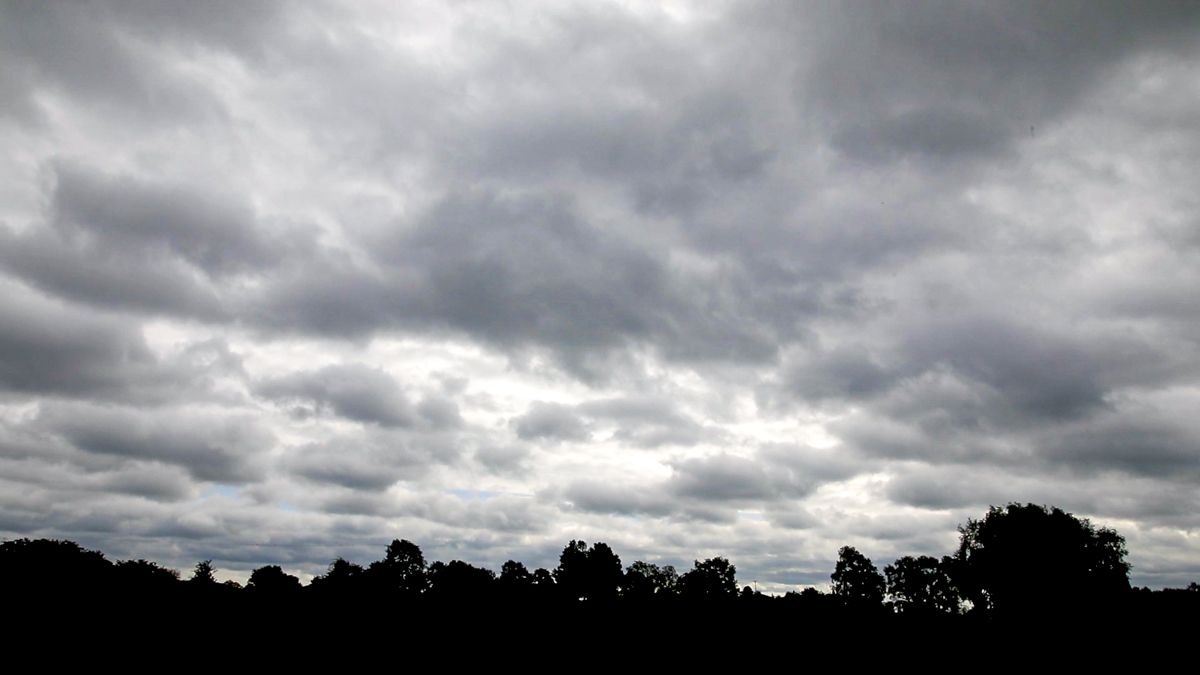
The coming week will start off cloudy but relatively dry today (Monday, March 22) – before conditions become more unsettled with rain or showers over the coming days, according to Met Éireann.
It will be mostly cloudy today, with many areas holding dry apart from a few patches of mist or drizzle.
Whilst it will be predominantly cloudy occasional sunny spells will occur, with these most likely in eastern and southern counties, the national meteorological office says.
Tonight will stay mostly cloudy across the country with scattered patches of mist and drizzle about. Lowest temperatures will drop to 5° to 8° in moderate southerly winds, fresh along Atlantic coasts.
Tomorrow
Tomorrow there will be a good deal of cloud covering Ireland with the odd spot of rain or drizzle, Met Éireann says.
During the afternoon and evening, a spell of rain will push in from the Atlantic to affect western counties, spreading eastwards in the evening.
Maximum temperatures of 11° to 14° are expected in freshening south to southwest winds.
A clearance will quickly follow from the west and it will turn cold under the clearing skies with just a few isolated showers following.
Minimum temperatures of 1° to 4° in moderate southwest winds are forecast.
Outlook
After a mostly dry start on Wednesday, showery rain will move in from the Atlantic to affect parts of west Munster, Connacht and Ulster, the forecaster says.
Further east, it is expected to remain mostly dry with some bright or sunny spells. Highest temperatures will generally range from 9° to 12° in moderate to fresh southwest winds.
On Thursday, showery outbreaks of rain will spread across the country from the west and it will turn blustery.
Some heavy downpours are expected with a risk of hail later in the day as it turns colder. Maximum afternoon temperatures of 10° to 13° are anticipated but a colder airmass will extend from the Atlantic later in the day.
Any lingering rain affecting eastern counties will clear on Thursday night to leave a mix of clear spells and showers, some with hail and thunder.
It will feel cold with a touch of frost possible in areas sheltered from a brisk southwest breeze. Lows of 0° to 3° are expected, Met Éireann concludes.