Mix of wet and windy weather forecast for the weekend

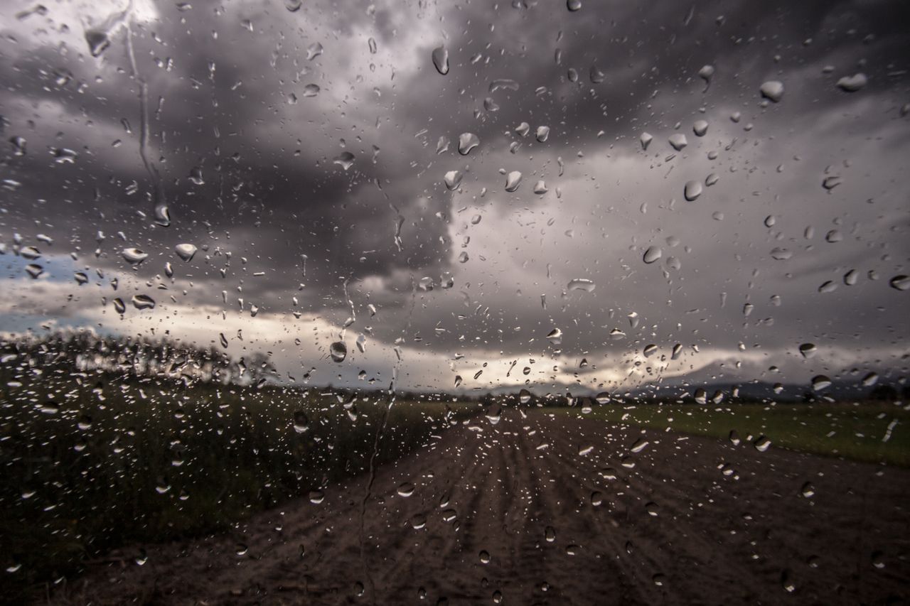
Met Éireann is forecasting a mix of wet and windy weather with some heavy downpours over the weekend although there will be some sunny spells in places, with temperatures a little milder than recently.
There has been a reprieve from freezing temperatures over the past week, which looks set to continue across the country over the next few days ahead of another cold spell next week.
A spell of heavier and more persistent rain will reach Atlantic coastal counties by this evening as moderate to fresh southerly winds increase fresh to strong and gusty.
Highest afternoon temperatures of just 3° to 5° in the north and northeast, with 6° to 9° elsewhere.
Early weekend forecast
The national meteorological office forecasts that tonight will be wet and windy with rain becoming widespread and heavy at times, bringing a risk of localised flooding.
Clear spells and showers will follow from the west as the rain clears the east coast around dawn.
Lowest temperatures of 6° to 9° in fresh to occasionally strong and gusty southerly winds, veering westerly as rain clears.
Saturday will be cooler with sunny spells and scattered blustery showers, most frequent in the northwest with afternoon temperatures of 6° to 9° in fresh west to northwest winds.
Outlook ahead
After a mixed weekend it will become more unsettled again from Monday (January 18) with milder wet conditions for a time before cooling down once again later on Tuesday, and remaining cool through to next weekend.
Lowest temperatures of 0° to 4° in light to moderate westerly breezes.
On Sunday, showers of rain and drizzle over Ulster and north Connacht may become persistent at times, becoming mostly cloudy elsewhere with just occasional sunny spells. Highest temperatures 6° to 9° in light to moderate southwest breezes.
Lowest temperatures of 1° to 4° in light to moderate southwest breezes.
Next week
There will be a bright start on Monday in the east which will give way to cloudier conditions, with rain, heavy at times in the southwest extending across the country by evening, bringing the risk of localised flooding.
Highest temperatures of 6° to 10°, coolest in the north in light to moderate southerly winds increasing fresh near coasts later in the day.
The rain will turn more showery during Tuesday afternoon as much colder air spreads from the northwest, with possible falls of sleet over higher ground later in the day.
Highest temperatures of 4° to 7° in the northwest, with 7° to 11° elsewhere; however, it will become much cooler everywhere during the afternoon and these cold temperatures will continue.