LPIS: New BPS mapping system rolls out to 9 counties in 2021

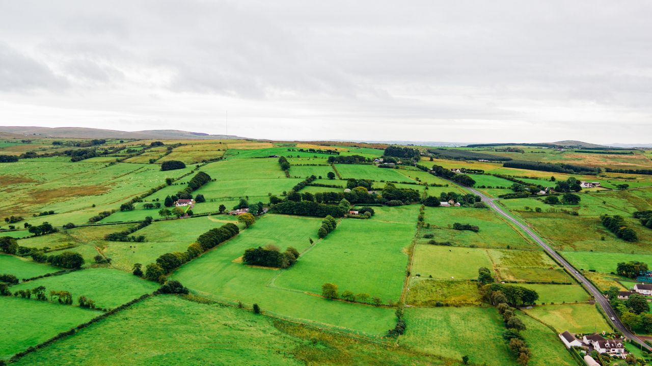
The roll-out of the Land Parcel Identification System (LPIS) – the new mapping system used to determine Basic Payment Scheme (BPS) payments in Ireland – is set to continue in 2021, with nine more counties to be included next year.
Confirming the news to AgriLand, a spokesperson for the Department of Agriculture, Food and the Marine said:
“The new LPIS will become operational in 2021 for counties Carlow, Dublin, Kildare, Laois, Offaly, Roscommon, Sligo, Westmeath and Wicklow.”
The new LPIS was first introduced in Louth in 2019 and has been rolled out in an additional five counties – namely counties Meath; Monaghan; Cavan; Leitrim; and Longford – in 2020.
“All land parcels in these six counties and land parcels declared in other counties by farmers based in these six counties are based on the new maps for 2020 payments,” the department spokesperson said.
“The department will continue to roll out the new LPIS on a phased basis over the next two years, with all counties expected to be live in the new system by 2023,” the representative concluded.