John Deere reveals precision agriculture partnership with Solorrow

John Deere has announced a new precision agriculture partnership with the German agri-tech start-up Solorrow through the launch of a new app.
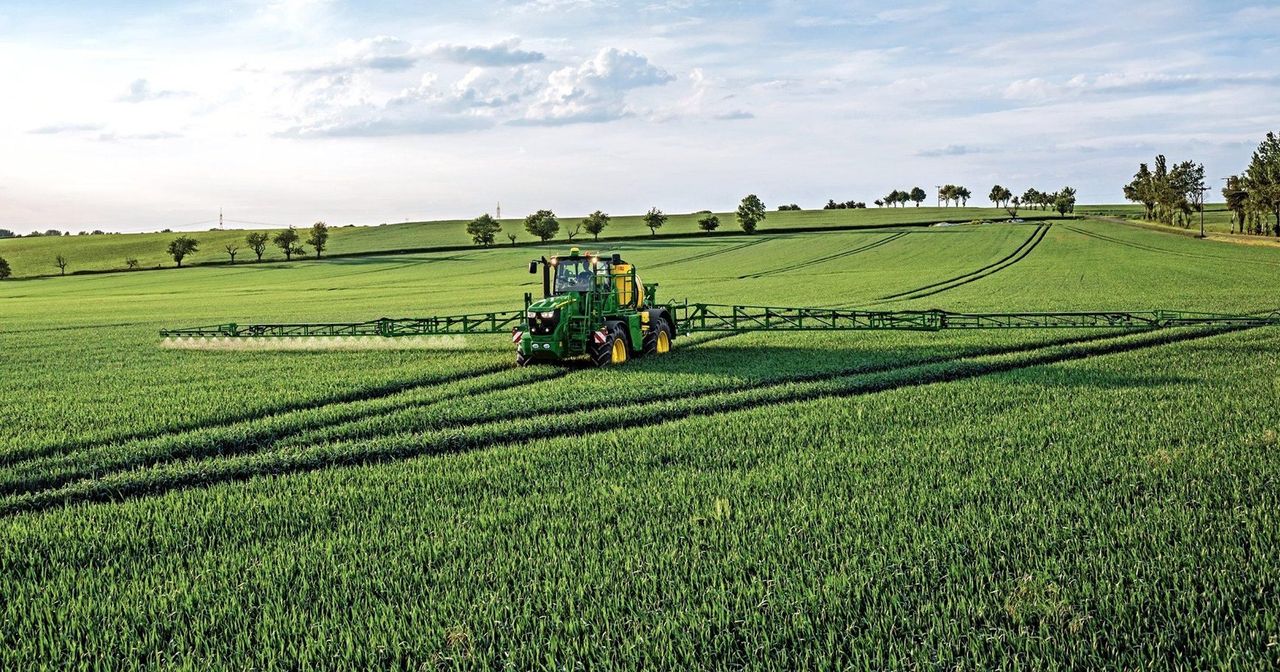
The new site-specific app developed by Solorrow will allow farmers to “create variable rate application maps for fertilising and other field operations and share them with the John Deere Operations Center”, John Deere says.
From there, maps can be sent wirelessly to machines in the field to enable more precise applications, so that fertilisers and crop protection chemicals can be used more effectively and the environment protected in a sustainable way, the agricultural machinery giant claims, adding:
“Software and app developments are becoming increasingly important in precision farming.
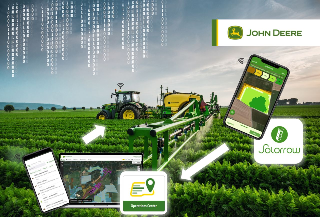
“Solorrow offers an affordable and very easy solution, which allows users to quickly identify fields and their boundaries in a map view on their tablet or smartphone.”
Based on five years of biomass data, the selected areas can then be divided into different soil zones that act as the basis for fertiliser and spray application maps. These maps can be sent from the app to the John Deere Operations Center and then also sent wirelessly to the appropriate vehicle, the firm says.
With this new app, Solorrow and John Deere are combining their marketing and sales activities.
This, the machinery manufacturer says, allows John Deere dealers to offer farmers and contractors a wider range of “precision ag” systems.