High pressure set to bring dry and settled conditions this week

An area of high pressure is set to be dominant this week, bringing drying and settled conditions, according to Met Eireann.
Today, Monday, is expected to be mostly dry; a few light showers are forecast, with Ulster most at risk.
A good deal of cloud is likely, but it is set to be generally bright with occasional sunny spells. Temperatures will range from 11 to 15 degrees.
Munster and south Leinster are expected to enjoy the highest temperatures, with light northerly or variable breezes.
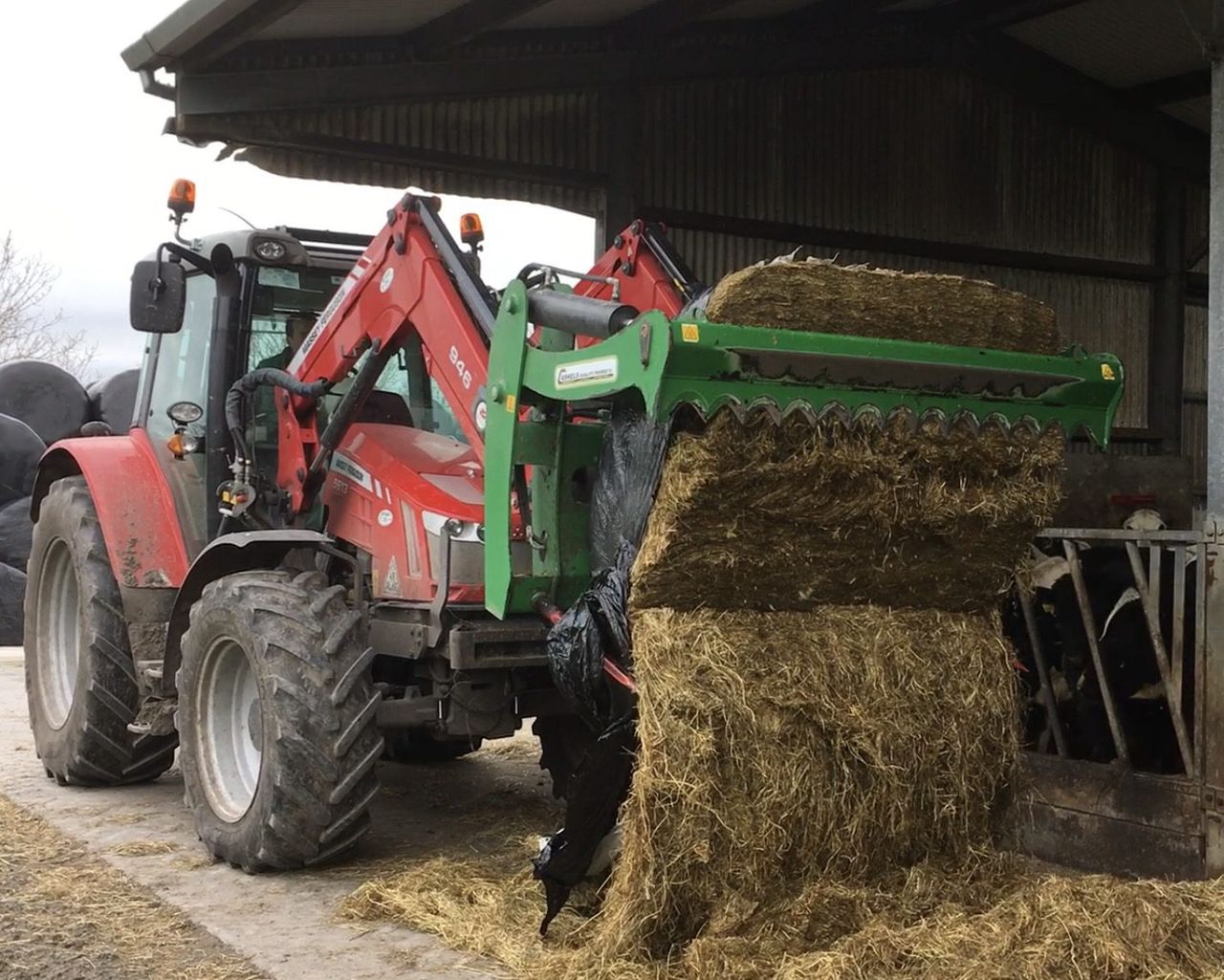
There will be plenty of opportunities for spraying and drying over the coming days, thanks to an area of dominant high pressure, according to Met Eireann.
The land is in good shape right now and is proving to be very workable at the moment, it added.
Tomorrow
Tomorrow, Tuesday, is set to be dry in most areas with sunny spells. Clouds are expected to thicken from the northwest during the afternoon, with patchy rain on the northwest and north coasts in the evening.
It is likely to be rather cold along the east and south coasts, with an onshore easterly breeze holding the temperatures at about 10 or 11 degrees. Meanwhile, temperatures will range from 11 to 14 degrees in other areas.
Tomorrow night is forecast to be rather cloudy with a little patchy rain overnight but dry in many places and lows of 4 to 8 degrees Celsius.
Outlook
It is set to be rather cloudy on Wednesday, with a little showery rain in places. But it is forecast to be mostly dry with some brighter periods developing as the day goes on.
According to Met Eireann, it will be a little milder, with temperatures ranging in the mid to low-teens. It is set to be chilly overnight – with some frost likely to develop in rural areas.
Early indications suggest that both Thursday and Friday will be mainly dry with just the odd shower falling.