Highs of 27 degrees in store as Met Eireann issues weather warning

A status yellow high temperature warning has been issued for the country with temperatures set to soar to over 27 degrees in many areas on Tuesday, according to Met Eireann.
The warning is in place from 10am tomorrow (Tuesday) morning until 8pm tomorrow evening.
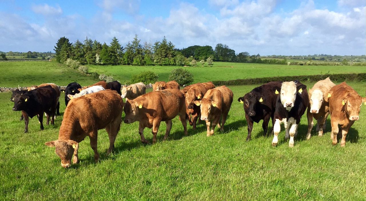
This week, the spell of dry weather is set to continue until Friday, giving farmers and agricultural contractors an opportunity to harvest some first and second cut silage across the country.
Today will be warm and dry for most areas with highest temperatures of 21 to 26 degrees according to Met Eireann.
Early morning cloud will gradually lift and sunshine will develop in many areas. However, along the coastal fringes of the south and east, it could be rather dull and cloudy with sea fog drifting inland.
There is a slight risk of the odd shower in north Leinster and Ulster later in the day while winds will be mainly light and coming from a southerly direction.
Tonight will continue to be humid and rather cloudy with some mist in places but otherwise dry. Fog is likely to persist in southern, eastern and northern coastal areas.
Lowest temperatures 11 to 15 degrees in light southerly or variable breezes according to Met Eireann.
Met Eireann says the coming days are good for spraying in most areas with light winds and mainly dry weather, however, conditions will at least temporarily disapprove around midweek.
Most if not all fields are trafficable at the moment while any slightly saturated soils will improve the coming days.
The potentially heavy showers later Tuesday or early Wednesday could lead to waterlogged fields for a while, but again this is only a small risk according to the forecast.
Tuesday
Tomorrow, Tuesday, will be the warmest day of this spell of good weather.
Met Eireann has forecast it will be sunny and very warm for much of the country with highest temperatures reaching 24 to 27 degrees for midland and western areas.
It will be cooler along the coasts where it could be duller with lingering sea fog and highest temperatures of 20 to 23 degrees.
Cloud will increase during the day but most areas will stay dry. In northwestern areas however, a few showers will develop in the evening, some possibly heavy or thundery.
Winds will be light easterly or southeasterly, turning westerly in Atlantic coastal counties by evening says Met Eireann.
Meanwhile, Tuesday night will be warm and humid with showers continuing in northern and western areas but it will be mainly dry elsewhere.
Lowest temperatures of 13 to 16 degrees in light westerly breezes.
Wednesday
Wednesday will be at first it will be warm and humid in the east and rather cloudy but mostly dry with just the odd shower.
Brighter and fresher conditions in the west will extend to all areas by afternoon. Highest temperatures of 17 to 21 degrees, warmest in the far south. Winds will be light westerly.
Thursday
Thursday will be mainly dry at first on but there is a danger of scattered showers in the afternoon according to Met Eireann. Highs of 17 to 20 degrees, warmest in the midlands, in light southerly breezes.
Friday
A band of rain followed by scattered showers is indicated to cross the country eastwards on Friday.
Highest temperatures of 18 to 21 degrees with winds being light variable or southerly.
Weekend
The weekend is forecast to be changeable with a lot of dry weather but rain or showers affecting western coastal counties and parts of the north.
Temperatures will range in the high teens with light to moderate southwesterly breezes.