Cold and frosty week in store

This week is set to be cold and frosty, with plenty of scattered showers likely across the country, according to Met Eireann.
This morning, Monday, is expected to brighten up quickly – with good sunny spells developing as the day progresses.
Other than isolated showers near north-west coasts, the rest of the day is forecast to be dry. Top afternoon temperatures will range from 7º to 9º, in moderating north-west winds.
Long, clear spells are expected this evening and early tonight; but, there will be some cloudy, misty periods in places later on.
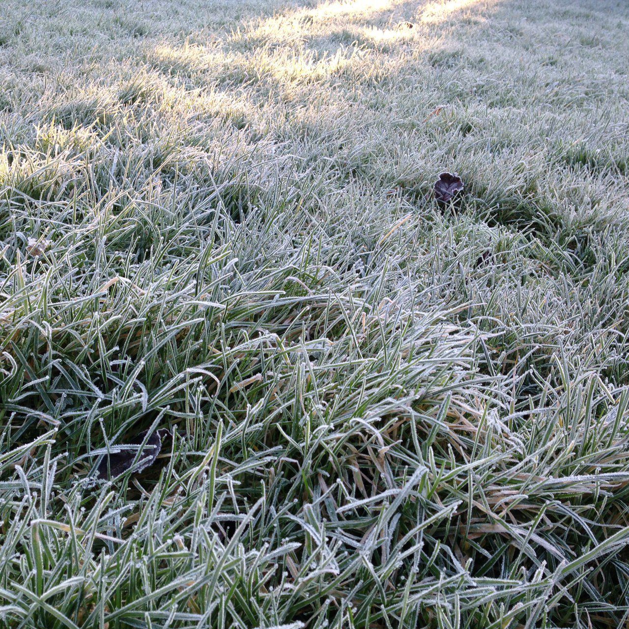
It is set to be cold, with a widespread ground frost developing later in the night. Lowest temperatures will drop to between zero and 3º; it will be chilliest in the south and east, where frost will be sharp.
Opportunities for both spraying and drying will be limited over the coming days due to the unsettled conditions. Meanwhile, many fields are waterlogged at present, Met Eireann added.
Tomorrow
Tomorrow, Tuesday, will again be dry in most areas. It is forecast to be cloudy and a few spots of drizzle may affect some Atlantic coastal districts.
Some spells of hazy sunshine are likely; conditions will be best in the eastern half of the country. Temperatures will reach as high as 10º, in light variable breezes.
It is expected to be windy tomorrow night, with the risk of a spell of rain. The rain will clear south-east across the country, Met Eireann explained. It will turn cold with wintry showers in the north and west; frost is likely to form widely.
Wednesday
A cold, windy day with a few sunny spells and widespread blustery showers is forecast on Wednesday. The showers will be wintry in many areas – especially across the north and west, with falls of snow on high ground.
Strong, gusty west to north-west winds are expected. A widespread severe frost will form on Wednesday night, with the danger of some icy patches developing, according to Met Eireann.
Outlook
Thursday is set to be another cold day; but, with better dry and sunny spells. While many areas will have further wintry showers, they are forecast to be less frequent. Some of the south and west may remain dry.
Early indications suggest that the weekend will be changeable and unsettled.