Cold and frosty weather forecast for the week ahead

A period of cooler weather, along with some frosty conditions at times, is expected in the coming days, according to Met Eireann.
Today, Monday, will be mostly cloudy, damp and misty in places. Scattered outbreaks of rain or drizzle are likely and will be most prevalent in the west and north.
Conditions are set to be drier in the east and south later this afternoon, as rain and drizzle will become confined to Ulster and Connacht. Temperatures will reach highs of 15º in a moderate to fresh southwesterly breeze.
Both conditions for drying and spraying will be mostly moderate – outside of patchy rain, drizzle and showers, according to Met Eireann.
A slow and gradual improvement in field conditions is expected to occur over the coming week, it added.
Tomorrow
There is a risk that outbreaks of rain will affect northwestern parts of the country at first tomorrow. Other areas of the country are likely to be generally dry to begin with, with some limited brighter intervals.
During the afternoon and evening, there will be a danger of patchy light rain gradually spreading southeastwards. Top temperatures are set to range between 12º and 14º, in a light to moderate southwesterly breeze.
It will turn cooler with lowest temperatures falling to around 5º or 10º, in a light northwesterly breeze, Met Eireann explained.
Thursday
A mostly dry day with some sunny spells is forecast on Thursday. It is set to gradually turn cooler, with temperatures ranging from between 10º and 12º.
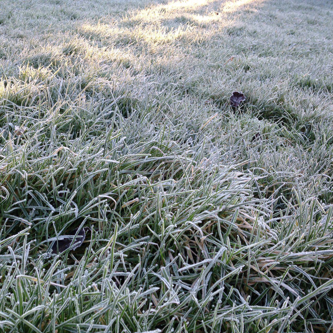
Conditions are forecast to remain mostly dry, with some clear spells and light winds on Thursday night. There will be a risk of some grass frost, as temperatures drop to as low as 3º.
Outlook
Friday is likely to stay mostly dry for much of the day, but cloudier weather – alongside some scattered outbreaks of drizzle or light rain – is predicted to develop as the day progresses.
Temperatures will vary between 8º and 12º, in light to moderate south-west breezes. There is a risk of showers in the west spreading gradually further inland on Friday night. Grass frost is also possible.
Early indications suggest that Saturday will be a cold and showery day. There is a danger of showers becoming heavy or thundery. Widespread frost is also forecast on Saturday night. Meanwhile, Sunday is set to be drier and a brighter day, with good sunshine.