5-day snow-ice warning issued for the country

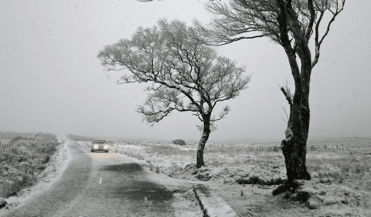
Met Eireann has issued a Status Yellow snow-ice warning for the country with accumulations of snow expected in places.
Issuing the warning this morning (Monday, January 28) at 9:00am, the warning will be valid from 6:00am tomorrow morning through to 6:00pm on Saturday evening (February 2).
The warning is expected to be updated at 10:00am tomorrow.
Issuing the warning, Met Eireann has noted that it will be very cold this week with scattered wintry showers, frequent across the south-west, west and north.
There is the possibility of a more significant spell of sleet or snow on Thursday, the meteorological office has warned.
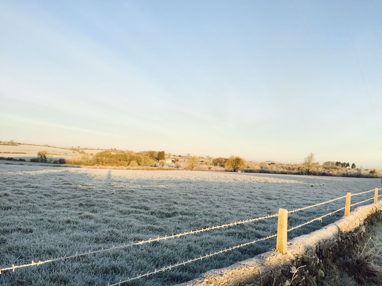
The coming week will bring the coldest spell of weather of the winter season so far, with temperatures set to nosedive to -5° over the coming days, the national meteorological office warns.
There will be widespread frost and ice by night and with the increasing risk of some sleet or snow.
Today’s forecast
This morning, much of east Leinster and Ulster will be dry with frost and icy patches, which will gradually clear later. It will be cloudier to the west and south with patchy rain or drizzle.
Showers will spread from the west this afternoon. It will be a cold day with highest temperatures of 4° to 8° and mostly light north-west winds, but fresh in west Munster.
Many areas will be dry early tonight with clear spells and with frost and icy patches forming quickly as temperatures fall to between -1° and +2°.