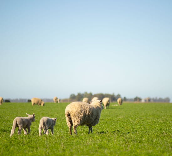
Met Éireann: Milder temperatures and frequent showers this week


Met Éireann has today (Monday, June 9) warned that temperatures are likely to turn "milder" and that there will be fewer bright spells in the week ahead.
The national meteorological service has also advised that generally it will be unsettled over the next five days and many parts of the country will experience "showery conditions".
In its Farming Commentary for the week ahead, Met Éireann's said that rainfall amounts will generally be lighter, "with below average accumulations expected for much of the country".
However It has also forecast that "drying will be rather poor" because of frequent showers and longer spells of rain.
"Soil temperatures are expected to stay around the average for this time of year or slightly higher," Met Éireann added.
Soil moisture deficits (SMDs) are generally "between 0mm and +45mm" with the driest soils in the south, but it has also cautioned that most soils in the north midlands and north-west are "very close to saturation".
The national meteorological service has advised that a potato blight advisory is also in effect from this evening until until tomorrow (Tuesday, June 10).
Met Éireann
According to the latest national forecast, Monday will start off cloudy with outbreaks of rain and drizzle developing through the morning - mostly in northern areas with rain likely to be heaviest across Ulster.
However Met Éireann added that it will be drier further south with highest temperatures reaching between 13° to 17° with "fresh southwesterly breezes".
By tonight, it will remain cloudy with outbreaks of rain across the northern half of the country and light showers elsewhere.
It expects that the "best of the dry weather will be in the south-east" with temperatures on average falling to between 9° to 13°.
Tuesday
It will also be another generally cloudy day with "light patchy rain and drizzle, along with some isolated sunny spells" in northern areas, according to Met Éireann.
Highest temperatures are likely to be in the region of 16° to 19° and there will be breezy conditions in most parts of the country.
Tuesday night could also bring some clear spells early on but it will turn cloudy and there is a good possibility of "light rain or drizzle" as temperatures dip to between 9° to 13°. Some parts of the country will also experience mist or fog.
Wednesday
It will start off cloudy on Wednesday morning but in general it will be showery from late morning and into the afternoon with some counties experiencing heavier rain fall.
But according to Met Éireann, it is likely to feel milder with highest temperatures potentially hitting 18° to 21° throughout Wednesday.
However there is unlikely to be any let up in the showers by nightfall, which are set to continue turning heavy in some counties. Temperatures will remain mild and not expected to drop below 13°.
Thursday
There is the possibility of "heavy showers" Thursday and also the chance of some thunderstorms.
But the current forecast suggests that this will ease off by evening and that there could then be "spells of sunshine".
Highest temperatures could be in the region of 18° to 22° with "moderate to fresh southerly winds".
Friday
The unsettled weather will continue into Friday with "further outbreaks of heavy showers with fresh southerly winds" forecast and temperatures between 16° to 19°.
According to the national meteorological service, low pressure looks to dominate the weather "with frequent showers over the weekend".