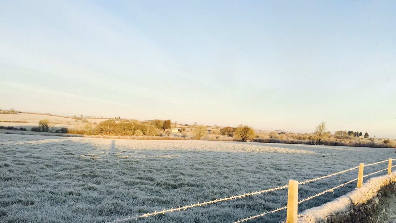
A cold, unsettled week is in store with frost and wintry precipitation on the cards, according to Met Eireann.
The coming week will bring the coldest spell of weather of the winter season so far, with temperatures set to nosedive to -5° over the coming days, the national meteorological office warns.
There will be widespread frost and ice by night and with the increasing risk of some sleet or snow.
This morning, much of east Leinster and Ulster will be dry with frost and icy patches, which will gradually clear later. It will be cloudier to the west and south with patchy rain or drizzle.
Showers will spread from the west this afternoon. It will be a cold day with highest temperatures of 4° to 8° and mostly light north-west winds, but fresh in west Munster.
Scattered showers in the west and north will turn to more persistent rain towards midnight and then cross the country overnight, turning wintry in places with the risk of accumulations on higher ground, Met Eireann warns.
Drying conditions will be moderate or poor for the week ahead as the weather will be quite mixed with spells of rain and showers, according to Met Eireann.
There will be limited opportunities for spraying as the weather will remain changeable.
Little change is expected for the week ahead although moderately-drained soils may also become waterlogged by the end of the week.
Tomorrow
Tomorrow will be very cold. In the morning, rain and sleet will clear eastwards with sunshine and wintry showers following for the rest of the day.
Some of the showers will be of snow, especially in Connacht and Ulster and on high ground.
Highest temperatures will peak at 2° to 7° with moderate to fresh, gusty west to north-west winds.
Tomorrow night will be very cold with scattered wintry showers and clear spells. Lowest temperatures will fall to between 0° and -3° with a widespread hard frost.
Outlook
Wednesday will continue cold with scattered wintry showers becoming isolated and mostly dry later with good sunny spells.
Top temperatures will be around 3° to 7° and fresh west to north-west winds will ease.
However, cloud will increase from the south-west with a spell of persistent rain affecting the west and south-west by dawn.
On Thursday a spell of rain, sleet and snow will gradually clear northward to scattered wintry showers.
It will stay rather cold with afternoon temperatures of just 1° to 7° in freshening easterly winds.