Two weather warnings, a status orange and a status yellow snow-ice warning, have been issued by Met Eireann for parts of the country.
The status orange warning has been issued for Donegal, Leitrim, Mayo and Sligo.
Snow accumulations of between 4 and 8cm are possible from midnight tonight (Wednesday) until midnight on Thursday.
The highest amounts will be on high ground, according to Met Eireann and the orange snow-ice warning is in place until midnight on Thursday.
The status yellow warning has been issued for Longford, Cavan, Monaghan, Galway and Roscommon.
According to Met Eireann, snow accumulations of 2 to 4cm are possible from midnight tonight until midnight on Thursday.
Tonight, showers will continue in west Munster, Connacht and Ulster becoming increasingly wintry with some falling as snow overnight, it said.
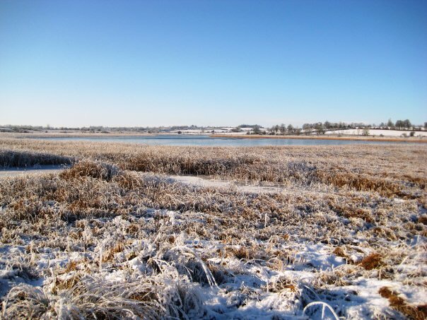
Leinster and east Munster will be largely dry with clear spells, however Met Eireann has said that it will be very cold with a widespread sharp frost and icy patches on roads.
There will be lowest temperatures tonight (Wednesday) of minus 2 and 2 degrees.
Looking to tomorrow, Thursday, Met Eireann has said it will be cold with sunshine and scattered wintry showers, most frequent in the west and north.
Some will fall as snow, mainly in the morning and also in the evening while there’ll be a good deal of dry weather in the east and south.
There’ll be highest temperatures of 3 to 6 degrees with moderate, northwest winds, it said.
On Thursday night showers will continue in the west and north, with sleet or snow on higher ground, but most other places will become dry, Met Eireann has said.
Frost will develop away from west and north coasts and it said it will be breezy with moderate to fresh northwest winds.